| Mount Kain | |
|---|---|
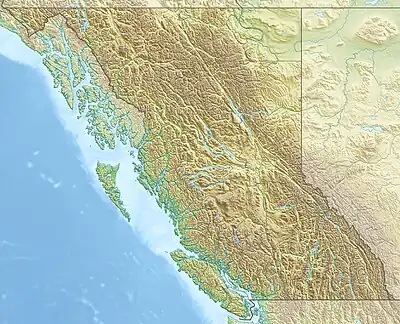 Mount Kain Location in British Columbia | |
| Highest point | |
| Elevation | 2,880 m (9,450 ft)[1][2] |
| Prominence | 239 m (784 ft)[3] |
| Parent peak | Resplendent Mountain (3425 m) |
| Listing | Mountains of British Columbia |
| Coordinates | 53°03′08″N 119°02′25″W / 53.05222°N 119.04028°W[4] |
| Geography | |
| Country | Canada |
| Province | British Columbia |
| District | Cariboo Land District |
| Protected area | Mount Robson Provincial Park |
| Parent range | Rainbow Range |
| Topo map | NTS 83E3 Mount Robson[4] |
| Climbing | |
| First ascent | 1934 by M.M. Strumia[1][3] |
| Easiest route | basic rock climb |
Mount Kain is a mountain located in the Fraser River Valley of Mount Robson Provincial Park, Canada. Mt. Kain was named during a survey of the Mt. Robson region conducted by the Alpine Club of Canada during the summer of 1911. While surveying from a nearby peak, the party noticed the mountain and guide Conrad Kain exclaimed "Ach! That is my peak." Trip leader Arthur Oliver Wheeler recorded the peak as Mt. Kain.[5]
References
- 1 2 "Mount Kain". cdnrockiesdatabases.ca. Retrieved 2003-11-08.
- ↑ "Topographic map of Mount Kain". opentopomap.org. Retrieved 2023-07-30.
- 1 2 "Mount Kain". Bivouac.com. Retrieved 2009-05-31.
- 1 2 "Mount Kain". Geographical Names Data Base. Natural Resources Canada. Retrieved 2013-05-18.
- ↑ Wheeler, Arthur (1912). "The Alpine Club of Canada's Expedition to Jasper Park, Yellowhead Pass and Mount Robson Region, 1911". Canadian Alpine Journal. 4: 28. Retrieved 2021-05-21.
External links
This article is issued from Wikipedia. The text is licensed under Creative Commons - Attribution - Sharealike. Additional terms may apply for the media files.