| Mount Myra | |
|---|---|
.jpg.webp) East aspect, from Flower Ridge | |
| Highest point | |
| Elevation | 1,803 m (5,915 ft) |
| Prominence | 781 m (2,562 ft) |
| Coordinates | 49°32′39.8″N 125°36′22.0″W / 49.544389°N 125.606111°W |
| Geography | |
 Mount Myra Vancouver Island, British Columbia, Canada 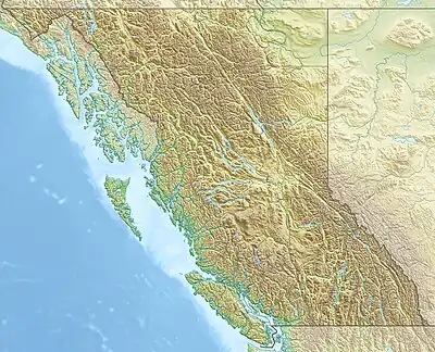 Mount Myra Mount Myra (British Columbia) | |
| District | Clayoquot Land District |
| Parent range | Vancouver Island Ranges |
| Topo map | NTS 92F12 Buttle Lake |
Mount Myra is a mountain on Vancouver Island, British Columbia, Canada, located 41 km (25 mi) southeast of Gold River and 20 km (12 mi) south of Mount McBride.[1]
See also
References
- ↑ "Mount Myra". Biv Home. Retrieved 2019-09-10.
External links
This article is issued from Wikipedia. The text is licensed under Creative Commons - Attribution - Sharealike. Additional terms may apply for the media files.