| Mount Weiss | |
|---|---|
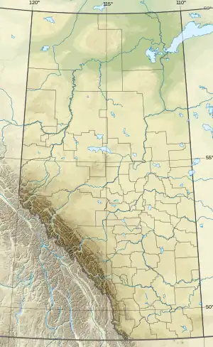 Mount Weiss Location in Alberta | |
| Highest point | |
| Elevation | 3,090 m (10,140 ft)[1] |
| Prominence | 180 m (590 ft)[2] |
| Parent peak | Gong Peak (3120 m)[2] |
| Listing | Mountains of Alberta |
| Coordinates | 52°23′28″N 117°28′30″W / 52.39111°N 117.47500°W[3] |
| Geography | |
| Country | Canada |
| Province | Alberta |
| Protected area | Jasper National Park |
| Parent range | Winston Churchill Range |
| Topo map | NTS 83C6 Sunwapta Peak |
| Climbing | |
| First ascent | 1971 by Mr. & Mrs. H.L. Fuhrer, B. Martin[1][2] |
| Easiest route | rock/snow climb |
Mount Weiss is a mountain in Alberta, Canada located on the western side of the Sunwapta River valley of Jasper National Park,[4] and is part of the Winston Churchill Range. The mountain was named in 1972 after Joe Weiss (1896-1993), who had spent 45 years of his life exploring and guiding in Jasper.[1][5]
See also
References
- 1 2 3 "Mount Weiss". cdnrockiesdatabases.ca. Retrieved 2007-09-10.
- 1 2 3 "Mount Weiss". Bivouac.com. Retrieved 2009-01-02.
- ↑ "Mount Weiss". Geographical Names Data Base. Natural Resources Canada. Retrieved 2013-05-17.
- ↑ "Topographic map of Mount Weiss". opentopomap.org. Retrieved 2022-03-13.
- ↑ "Joe Weiss". cdnrockiesdatabases.ca. Retrieved 2022-03-13.
This article is issued from Wikipedia. The text is licensed under Creative Commons - Attribution - Sharealike. Additional terms may apply for the media files.