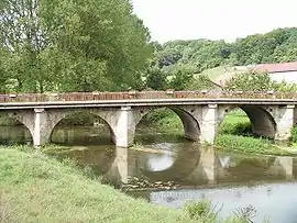
| Mouzon | |
|---|---|
 | |
  | |
| Location | |
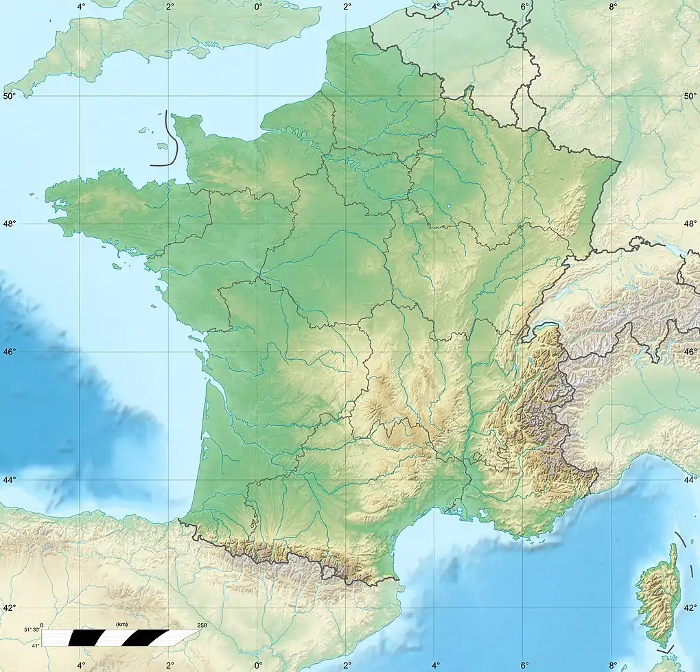
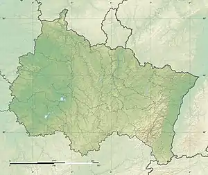
| Country | France |
| Physical characteristics | |
| Source | |
| • location | near Serocourt, Vosges |
| • coordinates | 48°07′11″N 5°52′24″E / 48.1196°N 5.8734°E |
| Mouth | Meuse |
• location | Neufchâteau |
• coordinates | 48°21′18″N 5°41′05″E / 48.355°N 5.6847°E |
| Length | 63.3 km (39.3 mi) |
| Basin size | 414 km2 (160 sq mi) |
| Basin features | |
| Progression | Meuse→ North Sea |
The Mouzon (French pronunciation: [muzɔ̃]) is a 63.3-kilometre (39.3 mi) river that traverses the departments Vosges and Haute-Marne in the region Grand Est, in northeastern France.[1] It rises in Serocourt and flows west then north to join the Meuse at Neufchâteau.[1] Its longest tributary is the Anger.[1]
References
This article is issued from Wikipedia. The text is licensed under Creative Commons - Attribution - Sharealike. Additional terms may apply for the media files.