Mukoy Airport | |||||||||||
|---|---|---|---|---|---|---|---|---|---|---|---|
| Summary | |||||||||||
| Airport type | Public | ||||||||||
| Serves | Mukoy | ||||||||||
| Elevation AMSL | 5,249 ft / 1,600 m | ||||||||||
| Coordinates | 7°32′57″S 28°40′20″E / 7.54917°S 28.67222°E | ||||||||||
| Map | |||||||||||
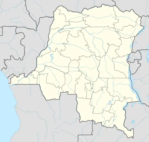 FZRC Location of the airport in Democratic Republic of the Congo | |||||||||||
| Runways | |||||||||||
| |||||||||||
Mukoy Airport (ICAO: FZRC) is a grass airstrip serving the hamlet of Mukoy in Tanganyika Province, Democratic Republic of the Congo.
See also
References
- ↑ Google Maps - Mukoy
- ↑ Airport information for Mukoy Airport at Great Circle Mapper.
External links
This article is issued from Wikipedia. The text is licensed under Creative Commons - Attribution - Sharealike. Additional terms may apply for the media files.