| Nanga Parbat Mountain | |
|---|---|
 | |
| Highest point | |
| Elevation | 3,240 m (10,630 ft)[1][2] |
| Prominence | 270 m (890 ft)[3] |
| Parent peak | Mount Barnard (3340 m)[3] |
| Listing | |
| Coordinates | 51°42′21″N 116°51′56″W / 51.70583°N 116.86556°W[4] |
| Geography | |
 Nanga Parbat Mountain 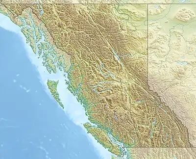 Nanga Parbat Mountain | |
| Country | Canada |
| Provinces | Alberta and British Columbia |
| Parent range | Park Ranges |
| Topo map | NTS 82N10 Blaeberry River |
| Climbing | |
| First ascent | 1922 Howard Palmer, J. Monroe Thorington, Edward Feuz Jr.[1] |
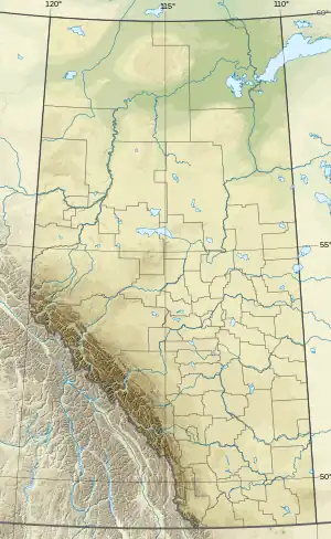
Nanga Parbat Mountain is located on the border of Alberta and British Columbia at the head of the Mummery Glacier, North of Golden.[5] It was named in 1898 by J. Norman Collie after the ninth highest mountain in the world Nanga Parbat, located in the Himalayas.[1][3] Collie had climbed on Nanga Parbat in 1895.[6]
See also
References
- 1 2 3 "Nanga Parbat Mountain". cdnrockiesdatabases.ca. Retrieved 2010-02-10.
- ↑ "Topographic map of Nanga Parbat Mountain". opentopomap.org. Retrieved 2021-09-01.
- 1 2 3 "Nanga Parbat Mountain". Bivouac.com. Retrieved 2010-02-10.
- ↑ "Nanga Parbat Mountain (Alberta)". Geographical Names Data Base. Natural Resources Canada. Retrieved 2019-06-09.
- ↑ "Nanga Parbat Mountain". BC Geographical Names. Retrieved 2021-09-01.
- ↑ Collie, Norman (2003). From the Himalaya to Skye. Rockbuy Limited. ISBN 1-904466-08-7.
This article is issued from Wikipedia. The text is licensed under Creative Commons - Attribution - Sharealike. Additional terms may apply for the media files.