Neem Ka Thana district | |
|---|---|
| Neem Ka Thana | |
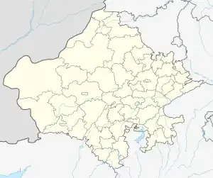 Neem Ka Thana district Location in Rajasthan, India | |
| Coordinates: 27°44′06″N 75°46′47″E / 27.735018°N 75.779730°E | |
| Country | |
| State | Rajasthan |
| Division | Sikar |
| District | Neem ka thana |
| Elevation | 446 m (1,463 ft) |
| Languages | |
| • Official | Dhundhari, Hindi, Rajasthani |
| • Spoken | Shekhawati & Torawati |
| Time zone | UTC+5:30 (IST) |
| PIN | 332713 |
| ISO 3166 code | RJ-IN |
| Vehicle registration | RJ-23B |
| Website | https://neemkathana.rajasthan.gov.in/ |
Neem ka Thana district is a district of the western Indian state of Rajasthan. It was formed in July 2023 out of parts of Sikar and Jhunjhunu districts. Its headquarters are at Neem Ka thana.[1]
The entire district was formerly under Jaipur state. Neem ka Thana has five tehsils: Neem ka Thana, Patan, Sri Madhopur (formerly under Sikar district) and Khetri, Udaipurwati (formerly under Jhunjhunu district).[1]
References
| Outline |  | ||||||||||||||
|---|---|---|---|---|---|---|---|---|---|---|---|---|---|---|---|
| Governance | |||||||||||||||
| Divisions and districts |
| ||||||||||||||
| Major cities | |||||||||||||||
| Related templates |
| ||||||||||||||
This article is issued from Wikipedia. The text is licensed under Creative Commons - Attribution - Sharealike. Additional terms may apply for the media files.