New Bight Airport | |||||||||||
|---|---|---|---|---|---|---|---|---|---|---|---|
 | |||||||||||
| Summary | |||||||||||
| Airport type | Public | ||||||||||
| Serves | New Bight, Cat Island, Bahamas | ||||||||||
| Elevation AMSL | 5 ft / 2 m | ||||||||||
| Coordinates | 24°18′55″N 075°27′08″W / 24.31528°N 75.45222°W | ||||||||||
| Map | |||||||||||
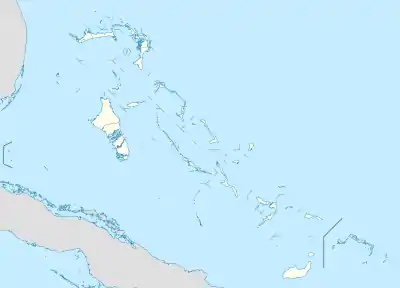 MYCB Location in The Bahamas | |||||||||||
| Runways | |||||||||||
| |||||||||||
New Bight Airport (IATA: TBI, ICAO: MYCB) is an airport in New Bight on Cat Island in The Bahamas.[1] The airport has domestic passenger flights to one destination, Nassau.[3] The flight to Nassau from New Bight Airport is 84 miles and takes on average 30 minutes.[4]
Facilities
The airport resides at an elevation of 5 ft (1.5 m) above mean sea level. It has one runway designated 09/27 with an asphalt surface measuring 1,539 m × 30 m (5,049 ft × 98 ft).[1]

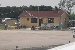
Short final to New Bight International
Airlines and destinations
| Airlines | Destinations |
|---|---|
| Southern Air Charter | Nassau |
| Western Air | Nassau |
See also
- Arthur's Town Airport (IATA: ATC, ICAO: MYCA) in Arthur's Town on Cat Island
References
- 1 2 3 "Airport information for MYCB". World Aero Data. Archived from the original on 5 March 2019.
{{cite web}}: CS1 maint: unfit URL (link) Data current as of October 2006. Source: DAFIF. - ↑ Airport information for TBI at Great Circle Mapper. Source: DAFIF (effective October 2006).
- ↑ "Flight Connections, New Bight".
- ↑ "Flight Connections, New Bight".
External links
This article is issued from Wikipedia. The text is licensed under Creative Commons - Attribution - Sharealike. Additional terms may apply for the media files.