Nizhny Palnik
Нижний Пальник | |
|---|---|
Selo | |
 Nizhny Palnik 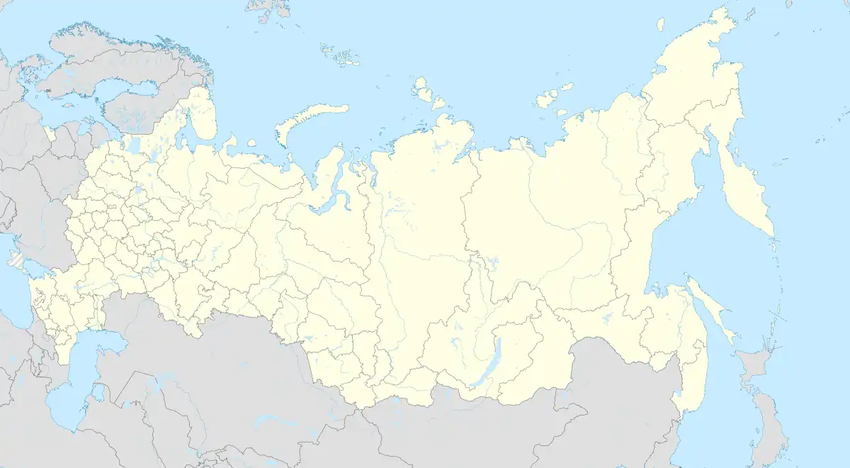 Nizhny Palnik | |
| Coordinates: 57°37′N 56°18′E / 57.617°N 56.300°E[1] | |
| Country | Russia |
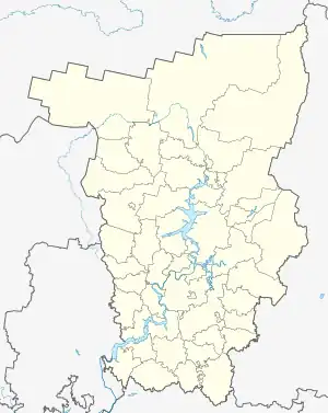
| Region | Perm Krai |
| District | Permsky District |
| Time zone | UTC+5:00 |
Nizhny Palnik (Russian: Нижний Пальник) is a rural locality (a selo) and the administrative center of Palnikovskoye Rural Settlement, Permsky District, Perm Krai, Russia. The population was 787 as of 2010.[2] There are 19 streets.
Geography
Nizhny Palnik is located on the Babka River, 59 km south of Perm (the district's administrative centre) by road. Chelyaba is the nearest rural locality.[3]
References
- ↑ Карта Пермского района Пермского края
- ↑ "Численность и размещение населения Пермского края". permstat.gks.ru. Archived from the original on 2014-09-10. Retrieved 2019-04-21.
- ↑ Расстояние от Нижнего Пальника до Перми
This article is issued from Wikipedia. The text is licensed under Creative Commons - Attribution - Sharealike. Additional terms may apply for the media files.