North Jay, Maine | |
|---|---|
Village | |
 North Jay | |
| Coordinates: 44°32′50″N 70°14′17″W / 44.54722°N 70.23806°W | |
| Country | United States |
| State | Maine |
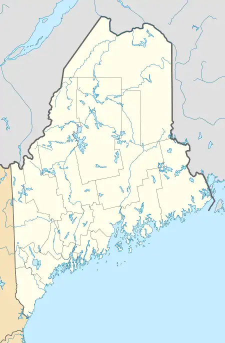
| County | Franklin |
| Elevation | 377 ft (115 m) |
| Time zone | UTC-5 (Eastern (EST)) |
| • Summer (DST) | UTC-4 (EDT) |
| ZIP code | 04262[1] |
| Area code | 207 |
| GNIS feature ID | 572352[2] |
North Jay is an unincorporated village in the town of Jay, Franklin County, Maine, United States. The community is located at the intersection of Maine State Route 4 and Maine State Route 17, 9.5 miles (15.3 km) south-southwest of Farmington.
References
- ↑ United States Postal Service. "USPS - Look Up a ZIP Code". Retrieved April 19, 2017.
- ↑ "North Jay". Geographic Names Information System. United States Geological Survey, United States Department of the Interior.
Municipalities and communities of Franklin County, Maine, United States | ||
|---|---|---|
| Towns | 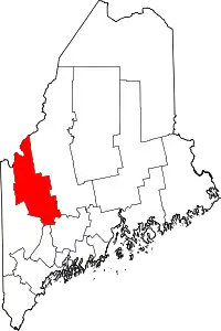 Franklin County map | |
| Plantations | ||
| Unorganized territories | ||
| CDPs | ||
| Other villages | ||
| Footnotes | ‡This populated place also has portions in an adjacent county | |
This article is issued from Wikipedia. The text is licensed under Creative Commons - Attribution - Sharealike. Additional terms may apply for the media files.