Nus | |
|---|---|
| Comune di Nus Commune de Nus | |
 | |
.svg.png.webp) Coat of arms | |
Location of Nus | |
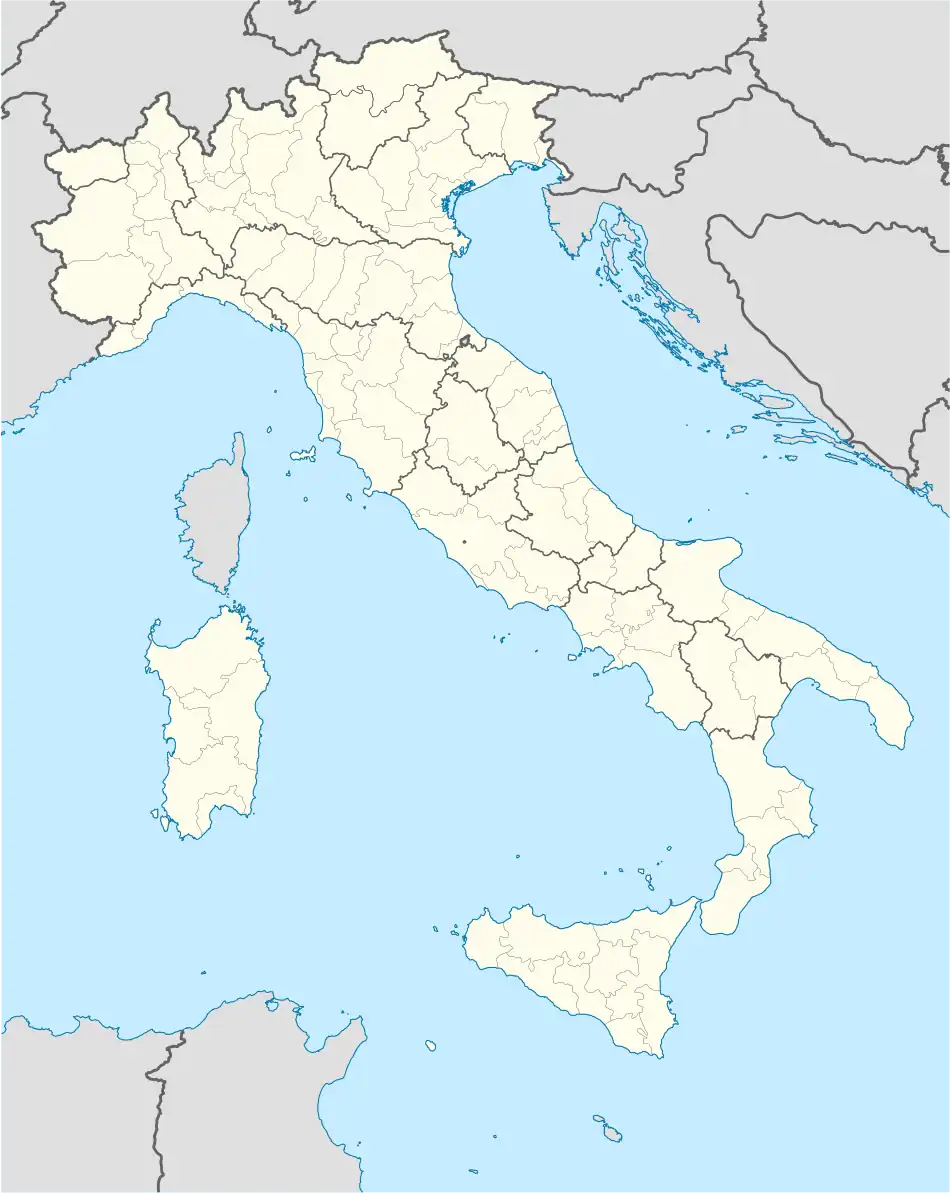 Nus Location of Nus in Italy 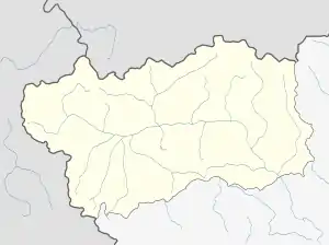 Nus Nus (Aosta Valley) | |
| Coordinates: 45°44′N 7°28′E / 45.733°N 7.467°E | |
| Country | Italy |
| Region | Aosta Valley |
| Province | none |
| Frazioni | Arlian, Blavy, Champagne, Clémensod, Cret, Fognier, Issologne, La Plantaz, Lavanche, Lignan, Mandollaz, Marsan, Martinet, Mazod, Messigné, Petit-Fénis, Pesse, Plane, Plaisant, Plantayes, Porliod, Praille, Praz, Ronchettes, Rovarey, Sacquignod, Tolasèche, Val, Vénoz |
| Area | |
| • Total | 57.38 km2 (22.15 sq mi) |
| Elevation | 529 m (1,736 ft) |
| Population (31 December 2022)[2] | |
| • Total | 2,983 |
| • Density | 52/km2 (130/sq mi) |
| Demonym | Neuveins |
| Time zone | UTC+1 (CET) |
| • Summer (DST) | UTC+2 (CEST) |
| Postal code | 11020 |
| Dialing code | 0165 |
| ISTAT code | 7045 |
| Patron saint | Hilary of Poitiers |
| Saint day | 13 January |
| Website | Official website |
Nus is a town and comune in the Aosta Valley region of northern Italy.
See also
- Vien de Nus, Italian wine grape that is a specialty of the region.
References
- ↑ "Superficie di Comuni Province e Regioni italiane al 9 ottobre 2011". Italian National Institute of Statistics. Retrieved 16 March 2019.
- ↑ All demographics and other statistics from the Italian statistical institute (Istat)
This article is issued from Wikipedia. The text is licensed under Creative Commons - Attribution - Sharealike. Additional terms may apply for the media files.