Nutter | |
|---|---|
Hamlet | |
 Hazelbekke watermill | |
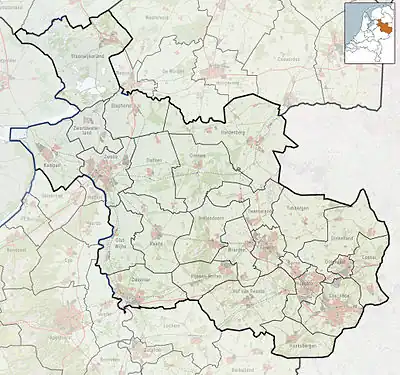
 Nutter in the municipality of Dinkelland. | |
 Nutter Location in the Netherlands 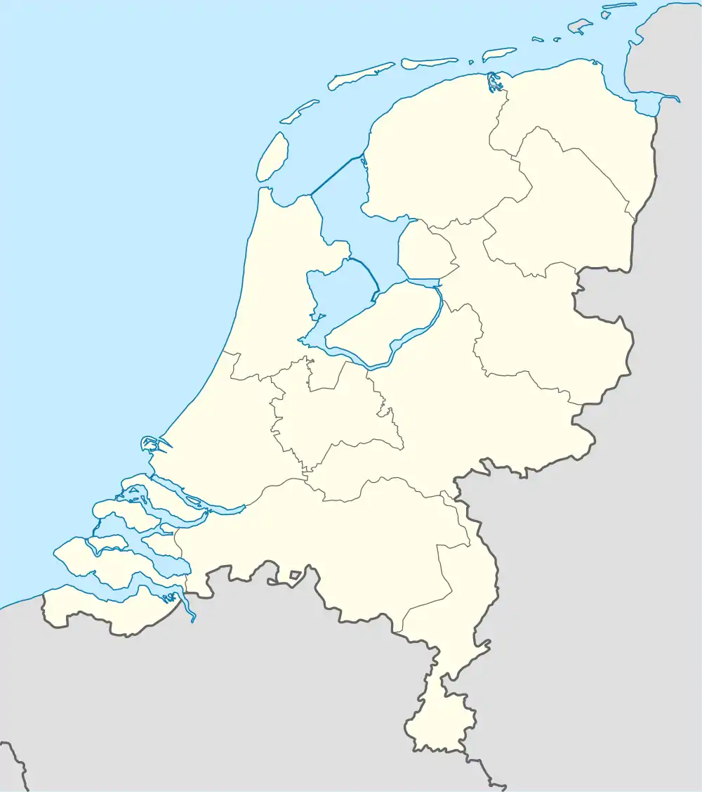 Nutter Nutter (Netherlands) | |
| Coordinates: 52°25′30″N 6°52′41″E / 52.42500°N 6.87806°E | |
| Country | Netherlands |
| Province | Overijssel |
| Municipality | Dinkelland |
| Area | |
| • Total | 5.35 km2 (2.07 sq mi) |
| Elevation | 65 m (213 ft) |
| Population (2021)[1] | |
| • Total | 190 |
| • Density | 36/km2 (92/sq mi) |
| Time zone | UTC+1 (CET) |
| • Summer (DST) | UTC+2 (CEST) |
| Postal code | 7638[1] |
| Dialing code | 0541 |
Nutter is a hamlet in the Dutch province of Overijssel. It is a part of the municipality of Dinkelland, and lies about 13 km north of Oldenzaal.
It was first mentioned in 1297 as Nuthere. The etymology is unclear.[3] In 1840, it was home to 194 people. There are direction signs to Nutter, but no place name signs that you have arrived.[4]
Gallery
 Cottage
 Cottage
 Barn
Barn
References
- 1 2 3 "Kerncijfers wijken en buurten 2021". Central Bureau of Statistics. Retrieved 15 March 2022.
- ↑ "Postcodetool for 7638PA". Actueel Hoogtebestand Nederland (in Dutch). Het Waterschapshuis. Retrieved 15 March 2022.
- ↑ "Nutter - (geografische naam)". Etymologiebank (in Dutch). Retrieved 15 March 2022.
- ↑ "Nutter". Plaatsengids (in Dutch). Retrieved 15 March 2022.
This article is issued from Wikipedia. The text is licensed under Creative Commons - Attribution - Sharealike. Additional terms may apply for the media files.