Nuwerus | |
|---|---|
 Nuwerus | |
 Nuwerus 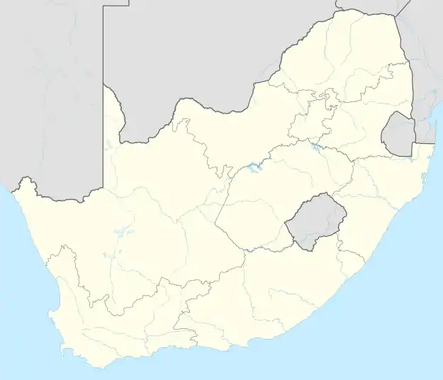 Nuwerus | |
| Coordinates: 31°08′56″S 18°21′29″E / 31.149°S 18.358°E | |
| Country | South Africa |
| Province | Western Cape |
| District | West Coast |
| Municipality | Matzikama |
| Area | |
| • Total | 0.75 km2 (0.29 sq mi) |
| Population (2011)[1] | |
| • Total | 650 |
| • Density | 870/km2 (2,200/sq mi) |
| Racial makeup (2011) | |
| • Black African | 7.7% |
| • Coloured | 81.3% |
| • Indian/Asian | 0.8% |
| • White | 9.8% |
| • Other | 0.5% |
| First languages (2011) | |
| • Afrikaans | 96.4% |
| • English | 2.3% |
| • Other | 1.3% |
| Time zone | UTC+2 (SAST) |
| PO box | 8201 |
| Area code | 027 |
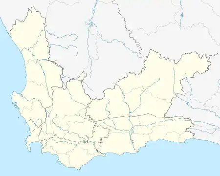
Nuwerus is a settlement in Matzikama Municipality, West Coast District in the Western Cape province of South Africa.
Village 16 km south-east of Bitterfontein and 70 km north-west of Vanrhynsdorp. The name is Afrikaans and means ‘new rest’.[2]
References
- 1 2 3 4 "Main Place Nuwerus". Census 2011.
- ↑ "Dictionary of Southern African Place Names (Public Domain)". Human Science Research Council. p. 344.
Municipalities and communities of West Coast District Municipality, Western Cape | ||
|---|---|---|
District seat: Moorreesburg | ||
| Matzikama | .svg.png.webp) West Coast District within South Africa | |
| Cederberg | ||
| Bergrivier | ||
| Saldanha Bay | ||
| Swartland | ||
This article is issued from Wikipedia. The text is licensed under Creative Commons - Attribution - Sharealike. Additional terms may apply for the media files.