Nzovu Airport | |||||||||||
|---|---|---|---|---|---|---|---|---|---|---|---|
| Summary | |||||||||||
| Airport type | Public | ||||||||||
| Serves | Nzovu | ||||||||||
| Elevation AMSL | 1,970 ft / 600 m | ||||||||||
| Coordinates | 2°34′30″S 27°59′20″E / 2.57500°S 27.98889°E | ||||||||||
| Map | |||||||||||
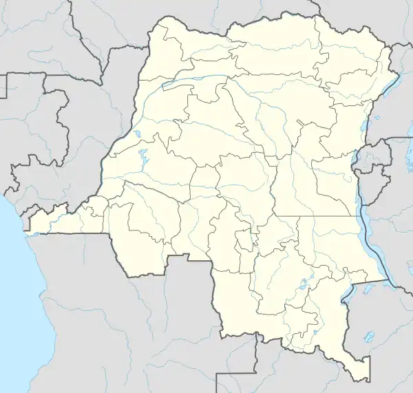 FZMD Location of the airport in Democratic Republic of the Congo | |||||||||||
| Runways | |||||||||||
| |||||||||||
Nzovu Airport (ICAO: FZMD) is an airstrip serving the village of Nzovu in Sud-Kivu Province, Democratic Republic of the Congo. The runway is 2.5 kilometres (1.6 mi) south of the village, across the Lubimbi river.
See also
References
- ↑ Google Maps - Nzovu
- ↑ Airport information for Nzovu Airport at Great Circle Mapper.
External links
- FallingRain - Nzovu Airport
- HERE Maps - Nzovu
- OpenStreetMap - Nzovu
- OurAirports - Nzovu
- Accident history for Nzovu Airport at Aviation Safety Network
This article is issued from Wikipedia. The text is licensed under Creative Commons - Attribution - Sharealike. Additional terms may apply for the media files.