| Obabika Lake | |
|---|---|
 | |
 Obabika Lake | |
| Location | Nipissing District and Sudbury District, Ontario |
| Coordinates | 47°02′37″N 80°15′16″W / 47.04361°N 80.25444°W[1] |
| Etymology | Ojibwe for "One lake that is almost two" |
| Primary inflows | Shish Kong River & Wakimika River |
| Primary outflows | Obabika River |
| Basin countries | Canada |
| Max. length | 20 km (12 mi) |
| Max. width | 2 km (1.2 mi) |
| Surface area | 32.26 km2 (12.46 sq mi) |
| Islands | Gull & Blueberry Islands |
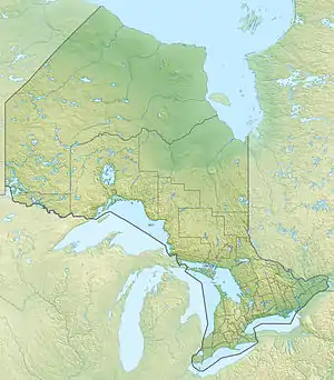
Obabika Lake is a lake in Northeastern Ontario, Canada,[1] located west of Lake Temagami in the Temagami region. It straddles the Sudbury-Nipissing District boundary. The Obabika River flows out of the south-western portion of the lake and eventually drains into the Sturgeon River.

Sunset over Obabika Lake
References
- 1 2 "Obabika Lake". Geographical Names Data Base. Natural Resources Canada. Retrieved 2017-12-07.
See also
This article is issued from Wikipedia. The text is licensed under Creative Commons - Attribution - Sharealike. Additional terms may apply for the media files.