| Og Mountain | |
|---|---|
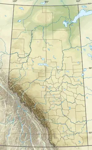 Og Mountain Location in Alberta and British Columbia 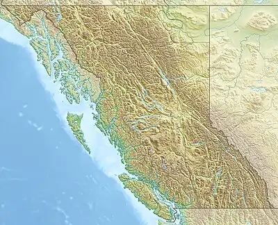 Og Mountain Og Mountain (British Columbia) | |
| Highest point | |
| Elevation | 2,874 m (9,429 ft)[1][2] |
| Prominence | 173 m (568 ft)[3][notes 1] |
| Listing | |
| Coordinates | 50°57′32″N 115°36′05″W / 50.95889°N 115.60139°W[4] |
| Geography | |
| Country | Canada |
| Provinces | Alberta and British Columbia |
| Protected areas | |
| Parent range | Canadian Rockies |
| Topo map | NTS 82J13 Mount Assiniboine[4] |
Og Mountain is located north of Assiniboine Pass and straddles the Continental Divide marking the Alberta-British Columbia border.[4] It was named in 1966 after references in the Bible.[1][3]
See also
References
- 1 2 "Og Mountain". cdnrockiesdatabases.ca. Retrieved 2024-01-07.
- ↑ "Topographic map of Og Mountain". opentopomap.org. Retrieved 2024-01-07.
- 1 2 "Og Mountain". Bivouac.com. Retrieved 2024-01-07.
- 1 2 3 "Og Mountain". BC Geographical Names. Retrieved 2024-01-07.
- Footnotes
- ↑ Based on a summit elevation of 2,863 m
This article is issued from Wikipedia. The text is licensed under Creative Commons - Attribution - Sharealike. Additional terms may apply for the media files.