Olivadi | |
|---|---|
| Comune di Olivadi | |
Location of Olivadi | |
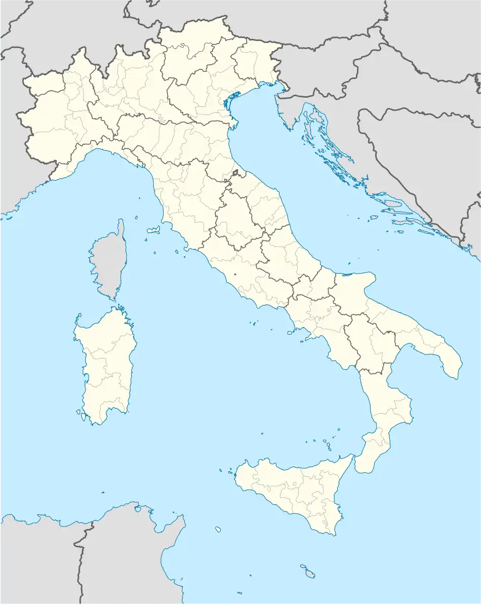 Olivadi Location of Olivadi in Italy 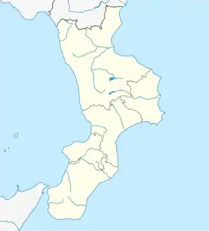 Olivadi Olivadi (Calabria) | |
| Coordinates: 38°44′N 16°25′E / 38.733°N 16.417°E | |
| Country | Italy |
| Region | Calabria |
| Province | Catanzaro (CZ) |
| Frazioni | Cenadi, Centrache, Petrizzi, San Vito sullo Ionio, Vallefiorita |
| Area | |
| • Total | 7 km2 (3 sq mi) |
| Elevation | 485 m (1,591 ft) |
| Population (31 December 2013)[2] | |
| • Total | 555 |
| • Density | 79/km2 (210/sq mi) |
| Demonym | Olivadesi |
| Time zone | UTC+1 (CET) |
| • Summer (DST) | UTC+2 (CEST) |
| Postal code | 88060 |
| Dialing code | 0967 |
| ISTAT code | 079088 |
| Patron saint | Sant'Elia |
| Saint day | 20 July |
| Website | Official website |
Olivadi (Greek: Livadion) is a comune and town in the province of Catanzaro in the Calabria region of Italy.
References
- ↑ "Superficie di Comuni Province e Regioni italiane al 9 ottobre 2011". Italian National Institute of Statistics. Retrieved 16 March 2019.
- ↑ All demographics and other statistics from the Italian statistical institute (Istat)
This article is issued from Wikipedia. The text is licensed under Creative Commons - Attribution - Sharealike. Additional terms may apply for the media files.