Ooltgensplaat | |
|---|---|
Village | |
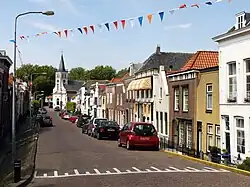 Street view | |
 Coat of arms | |
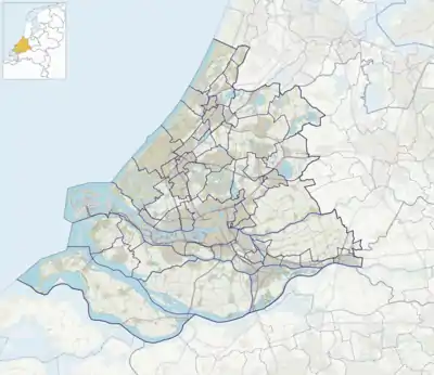 Ooltgensplaat Location in the province of South Holland in the Netherlands 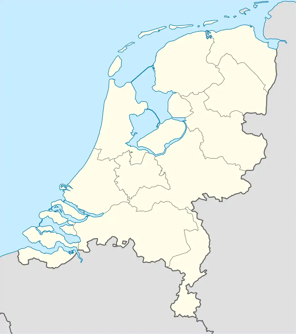 Ooltgensplaat Location in the Netherlands | |
| Coordinates: 51°40′57″N 4°20′43″E / 51.6825096°N 4.3453989°E | |
| Country | Netherlands |
| Province | South Holland |
| Municipality | Goeree-Overflakkee |
| Area | |
| • Total | 23.42 km2 (9.04 sq mi) |
| Elevation | 0.9 m (3.0 ft) |
| Population (2021)[1] | |
| • Total | 2,660 |
| • Density | 110/km2 (290/sq mi) |
| Time zone | UTC+1 (CET) |
| • Summer (DST) | UTC+2 (CEST) |
| Postal code | 3257[1] |
| Dialing code | 0187 |
Ooltgensplaat is a village in the Dutch province of South Holland. It is a part of the municipality of Goeree-Overflakkee, and lies about 17 km south of Spijkenisse.
History
The village was first mentioned in 1554 as Oitkensplate, and means "shoal of Oltken (person)".[3] Ooltgensplaat developed after the Het Oudeland polder was created between 1481 and 1483. The village has a harbour canal to the Volkerak. Ooltgensplaats became strategically important during the Eighty Years' War because it controlled the access to the Volkerak.[4]
The Dutch Reformed church is an aisleless L-shaped church which was built in 1847 as a replacement of the 16th century church. The former town hall is a building in mannerist style built between 1617 and 1618. It was restored between 1938 and 1939, and many of the alterations from 1839 were undone.[4]
Fort Prins Hendrik was built as Fort Duquesne by the French. It is a square fortress surrounded by a moat with bastions on the corners. L-shaped barracks were added between 1880 and 1883. The fortress was decommissioned in 1928. In 1969, it was used as a holiday resort.[4] The company went bankrupt in 2014, and in 2018, the fort and surrounding area was bought by the municipality.[5]
Ooltgensplaat was home to 1,583 people in 1840.[5] It was a separate municipality until 1966, when it became part of Oostflakkee.[6] In 2013, it became part of the municipality of Goeree-Overflakkee.[5]
Gallery
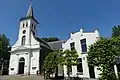 Dutch Reformed church
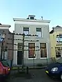 House in Oolgensplaat
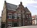 Former town hall
 Supermarket
References
- 1 2 3 "Kerncijfers wijken en buurten 2021". Central Bureau of Statistics. Retrieved 3 May 2022.
- ↑ "Postcodetool for 3257AA". Actueel Hoogtebestand Nederland (in Dutch). Het Waterschapshuis. Retrieved 3 May 2022.
- ↑ "Ooltgensplaat - (geografische naam)". Etymologiebank (in Dutch). Retrieved 3 May 2022.
- 1 2 3 Ronald Stenvert & Sabine Broekhoven (2004). "Ooltgensplaats" (in Dutch). Zwolle: Waanders. ISBN 90 400 9034 3. Retrieved 3 May 2022.
- 1 2 3 "Ooltgensplaat". Plaatsengids (in Dutch). Retrieved 3 May 2022.
- ↑ Ad van der Meer and Onno Boonstra, Repertorium van Nederlandse gemeenten, KNAW, 2011.