Oostknollendam | |
|---|---|
Village | |
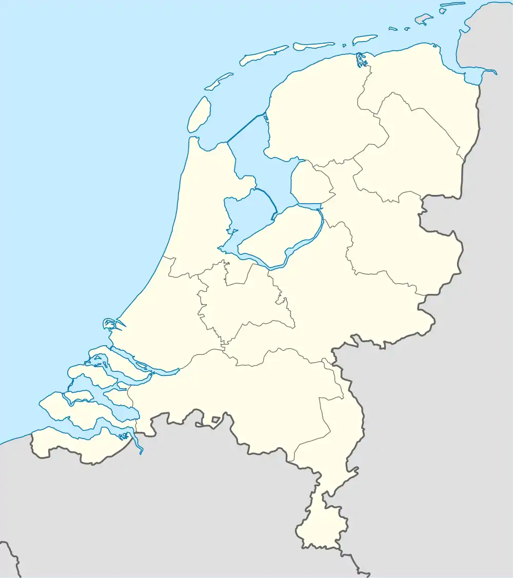 Oostknollendam Location in the Netherlands 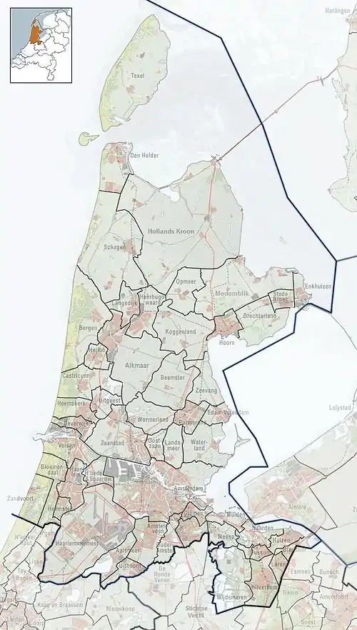 Oostknollendam Location in the province of North Holland in the Netherlands | |
| Coordinates: 52°31′2″N 4°47′25″E / 52.51722°N 4.79028°E | |
| Country | Netherlands |
| Province | North Holland |
| Municipality | Wormerland |
| Area | |
| • Total | 5.93 km2 (2.29 sq mi) |
| Elevation | −1.8 m (−5.9 ft) |
| Population (2021)[1] | |
| • Total | 565 |
| • Density | 95/km2 (250/sq mi) |
| Time zone | UTC+1 (CET) |
| • Summer (DST) | UTC+2 (CEST) |
| Postal code | 1534[1] |
| Dialing code | 0222 |
Oostknollendam is a village in the Dutch province of North Holland. It is a part of the municipality of Wormerland, and lies about 17 km north west of Amsterdam.[3]
The village was first mentioned in 1529 as "tot Knollendam", and means "eastern end of the dam". Oost (east) has been added to distinguish from Westknollendam".[4]
Oost-Knollendam was home to 169 people in 1840.[5]
References
- 1 2 3 "Kerncijfers wijken en buurten 2021". Central Bureau of Statistics. Retrieved 2 May 2022.
- ↑ "Postcodetool for 1534NA". Actueel Hoogtebestand Nederland (in Dutch). Het Waterschapshuis. Retrieved 2 May 2022.
- ↑ "Distance Oost-Knollendam, NLD -> Amsterdam, NLD". Distance.to (in Dutch). Retrieved 2 May 2022.
- ↑ "Oost-Knollendam". Etymologiebank (in Dutch). Retrieved 2 May 2022.
- ↑ "Oost-Knollendam". Plaatsengids (in Dutch). Retrieved 2 May 2022.
This article is issued from Wikipedia. The text is licensed under Creative Commons - Attribution - Sharealike. Additional terms may apply for the media files.