Oostrozebeke | |
|---|---|
 Administrative centre | |
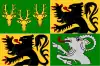 Flag  Coat of arms | |
Location of Oostrozebeke | |
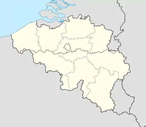 Oostrozebeke Location in Belgium
Location of Oostrozebeke in West Flanders 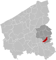 | |
| Coordinates: 50°55′N 03°20′E / 50.917°N 3.333°E | |
| Country | |
| Community | Flemish Community |
| Region | Flemish Region |
| Province | West Flanders |
| Arrondissement | Tielt |
| Government | |
| • Mayor | Luc Derudder (Oostrozebeke.nu) |
| • Governing party/ies | Oostrozebeke.nu |
| Area | |
| • Total | 16.72 km2 (6.46 sq mi) |
| Population (2018-01-01)[1] | |
| • Total | 7,849 |
| • Density | 470/km2 (1,200/sq mi) |
| Postal codes | 8780 |
| NIS code | 37010 |
| Area codes | 056 |
| Website | www.oostrozebeke.be |
Oostrozebeke (Dutch pronunciation: [ˌoːstˈroːzəbeːkə]; West Flemish: Ôostrôzebeke) is a municipality located in the Belgian province of West Flanders. The municipality comprises only the town of Oostrozebeke proper. On January 1, 2018 Oostrozebeke had a total population of 7,849. The total area is 16.62 km² which gives a population density of 472 inhabitants per km².
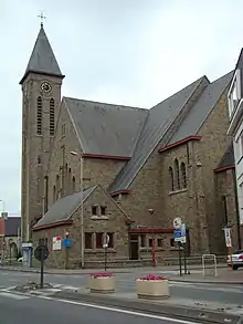
Saint-Amanduschurch
References
- ↑ "Wettelijke Bevolking per gemeente op 1 januari 2018". Statbel. Retrieved 9 March 2019.
External links
 Media related to Oostrozebeke at Wikimedia Commons
- Official website - Available only in Dutch
Places adjacent to Oostrozebeke | |
|---|---|
| Bruges | 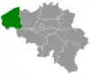 | |
|---|---|---|
| Diksmuide | ||
| Kortrijk | ||
| Ostend | ||
| Roeselare | ||
| Tielt | ||
| Veurne | ||
| Ypres | ||
| ||
This article is issued from Wikipedia. The text is licensed under Creative Commons - Attribution - Sharealike. Additional terms may apply for the media files.