Orton | |
|---|---|
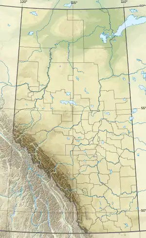 Orton Location of Orton 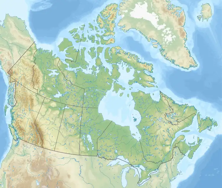 Orton Orton (Canada) | |
| Coordinates: 49°43′39″N 113°15′11″W / 49.72750°N 113.25306°W | |
| Country | Canada |
| Province | Alberta |
| Region | Southern Alberta |
| Census division | 3 |
| Municipal district | Municipal District of Willow Creek No. 26 |
| Government | |
| • Type | Unincorporated |
| • Governing body | Municipal District of Willow Creek No. 26 Council |
| Area (2021)[1] | |
| • Land | 1.56 km2 (0.60 sq mi) |
| Population (2021)[1] | |
| • Total | 180 |
| • Density | 115.4/km2 (299/sq mi) |
| Time zone | UTC−07:00 (MST) |
| • Summer (DST) | UTC−06:00 (MDT) |
| Area code(s) | 403, 587, 825 |
Orton is a hamlet in southern Alberta, Canada within the Municipal District of Willow Creek No. 26.[2] It is located 6 kilometres (3.7 mi) south of Highway 3, approximately 31 kilometres (19 mi) west of Lethbridge.
Demographics
In the 2021 Census of Population conducted by Statistics Canada, Orton had a population of 180 living in 48 of its 50 total private dwellings, a change of 27.7% from its 2016 population of 141. With a land area of 1.56 km2 (0.60 sq mi), it had a population density of 115.4/km2 (298.8/sq mi) in 2021.[1]
As a designated place in the 2016 Census of Population conducted by Statistics Canada, Orton had a population of 141 living in 39 of its 43 total private dwellings, a change of 15.6% from its 2011 population of 122. With a land area of 1.56 km2 (0.60 sq mi), it had a population density of 90.4/km2 (234.1/sq mi) in 2016.[3]
See also
References
- 1 2 3 "Population and dwelling counts: Canada and designated places". Statistics Canada. February 9, 2022. Retrieved February 10, 2022.
- ↑ "Specialized and Rural Municipalities and Their Communities" (PDF). Alberta Municipal Affairs. January 12, 2022. Retrieved January 21, 2022.
- ↑ "Population and dwelling counts, for Canada, provinces and territories, and designated places, 2016 and 2011 censuses – 100% data (Alberta)". Statistics Canada. February 8, 2017. Retrieved February 13, 2017.