Osborne | |
|---|---|
Dispersed rural community | |
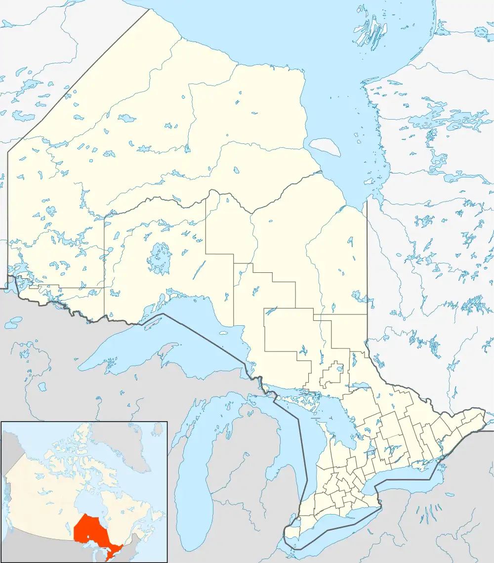 Osborne Location in Southern Ontario | |
| Coordinates: 42°54′30″N 82°15′28″W / 42.90833°N 82.25778°W[1] | |
| Country | Canada |
| Province | Ontario |
| County | Lambton |
| Municipality | St. Clair |
| Elevation | 198 m (650 ft) |
| Time zone | UTC-5 (Eastern Time Zone) |
| • Summer (DST) | UTC-4 (Eastern Time Zone) |
| Postal Code | N0N 1R0 |
| Area codes | 519, 226, 548 |
Osborne is a dispersed rural community and unincorporated place in the municipality of St. Clair, Lambton County in Southwestern Ontario, Canada.[1][3][4]
It is at the intersection of Lasalle Line and Waterworks Road, about 15 kilometres (9 mi) southeast of the centre of Sarnia.
References
- 1 2 "Osborne". Geographical Names Data Base. Natural Resources Canada. Retrieved 2017-12-13.
- ↑ Elevation at coordinates taken from Google Maps. Accessed 2017-12-13.
- ↑ "CLAIMaps IV". Ontario Ministry of Northern Development and Mines. 2016. Retrieved 2017-12-13.
- ↑ Restructured municipalities - Ontario map #6 (Map). Restructuring Maps of Ontario. Ontario Ministry of Municipal Affairs and Housing. 2006. Retrieved 2017-12-13.
This article is issued from Wikipedia. The text is licensed under Creative Commons - Attribution - Sharealike. Additional terms may apply for the media files.