Palagano | |
|---|---|
| Comune di Palagano | |
Location of Palagano | |
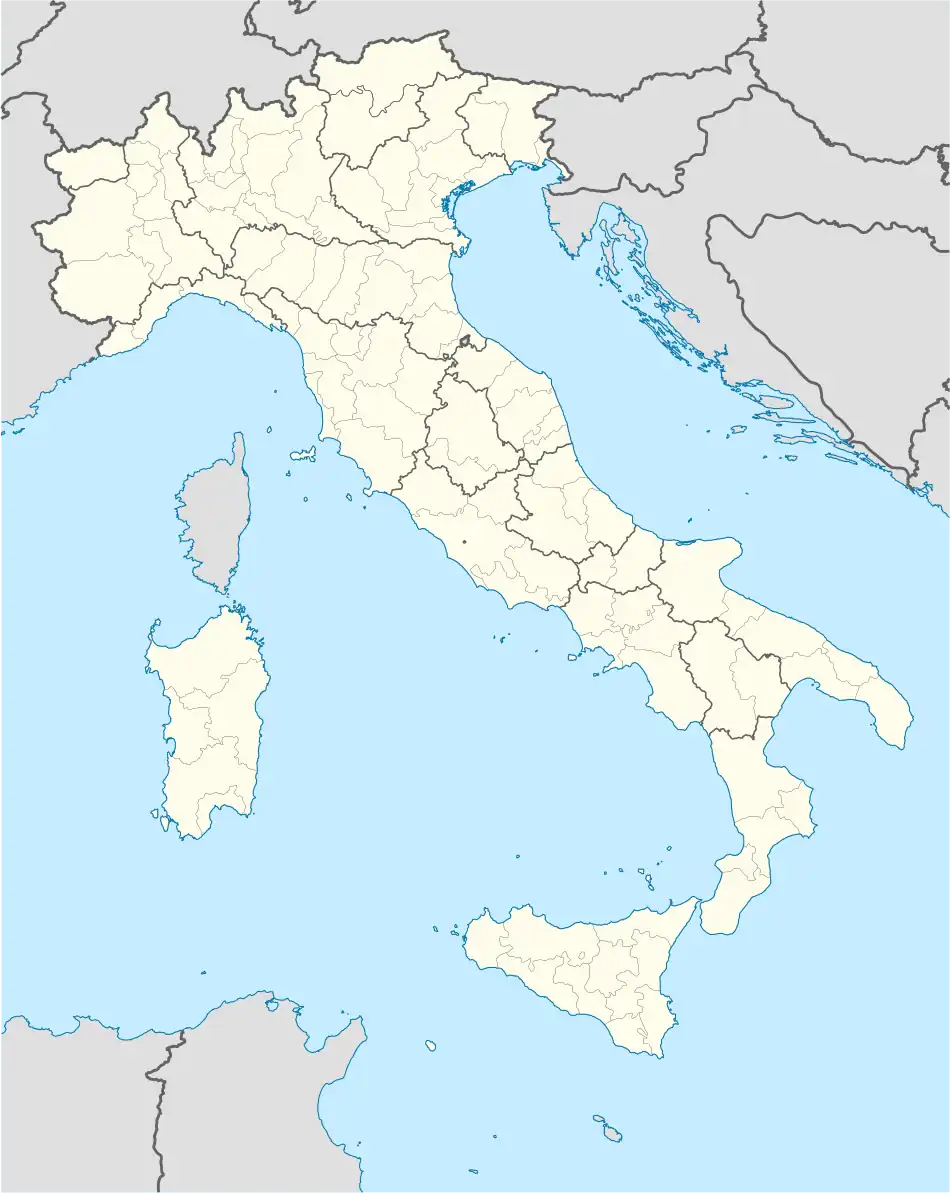 Palagano Location of Palagano in Italy 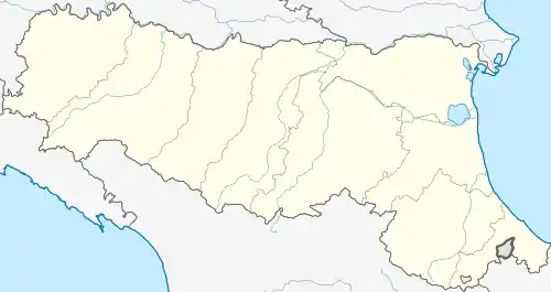 Palagano Palagano (Emilia-Romagna) | |
| Coordinates: 44°19′N 10°39′E / 44.317°N 10.650°E | |
| Country | Italy |
| Region | Emilia-Romagna |
| Province | Province of Modena (MO) |
| Frazioni | Boccassuolo, Costrignano, Monchio, Savoniero, Susano |
| Area | |
| • Total | 60.4 km2 (23.3 sq mi) |
| Elevation | 705 m (2,313 ft) |
| Population (Dec. 2004)[2] | |
| • Total | 2,455 |
| • Density | 41/km2 (110/sq mi) |
| Demonym | Palaganesi |
| Time zone | UTC+1 (CET) |
| • Summer (DST) | UTC+2 (CEST) |
| Postal code | 41046 |
| Dialing code | 0536 |
| Website | Official website |
Palagano (Frignanese: Palaghen) is a comune (municipality) in the Province of Modena in the Italian region Emilia-Romagna, located about 60 kilometres (37 mi) southwest of Bologna and about 45 kilometres (28 mi) southwest of Modena. As of 31 December 2004, it had a population of 2,455 and an area of 60.4 square kilometres (23.3 sq mi).[3]
The municipality of Palagano contains the frazioni (subdivisions, mainly villages and hamlets) Boccassuolo, Costrignano, Monchio, Savoniero, and Susano.
Palagano borders the following municipalities: Frassinoro, Lama Mocogno, Montefiorino, Polinago, Prignano sulla Secchia, Riolunato, Toano.
Demographic evolution

Twin towns
Palagano is twinned with:
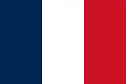 Carqueiranne, France
References
- ↑ "Superficie di Comuni Province e Regioni italiane al 9 ottobre 2011". Italian National Institute of Statistics. Retrieved 16 March 2019.
- ↑ "Popolazione Residente al 1° Gennaio 2018". Italian National Institute of Statistics. Retrieved 16 March 2019.
- ↑ All demographics and other statistics: Italian statistical institute Istat.
External links
This article is issued from Wikipedia. The text is licensed under Creative Commons - Attribution - Sharealike. Additional terms may apply for the media files.