Palatupana | |
|---|---|
Village | |
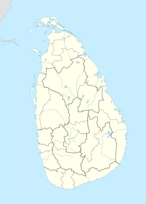 Palatupana Location in Sri Lanka | |
| Coordinates: 6°14′21″N 81°22′02″E / 6.2393°N 81.3673°E | |
| Country | Sri Lanka |
| Province | Southern Province |
| District | Hambantota District |
| Time zone | +5.30 |
Palatupana is a coastal village located in the Hambantota District of Southern Province, Sri Lanka.
Geography
Palatupana lies along B499 road, where that road crosses Yala National Park.[1][2]
References
- ↑ "B499". www.srilanka-places.com. Retrieved 2022-08-16.
- ↑ "National Highways". www.rda.gov.lk. Retrieved 2020-09-23.
This article is issued from Wikipedia. The text is licensed under Creative Commons - Attribution - Sharealike. Additional terms may apply for the media files.