Paraguaçu Paulista | |
|---|---|
 Flag  Coat of arms | |
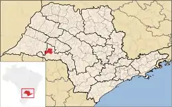 Location in São Paulo state | |
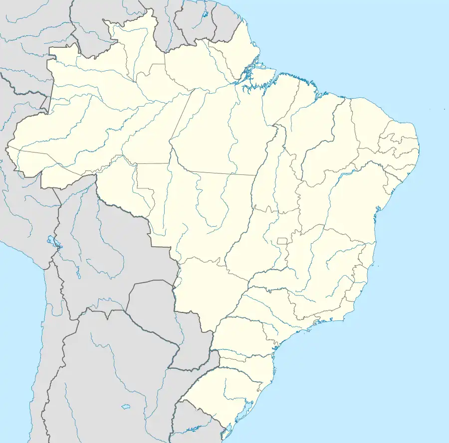 Paraguaçu Paulista Location in Brazil | |
| Coordinates: 22°25′11″S 50°34′47″W / 22.41972°S 50.57972°W | |
| Country | Brazil |
| Region | Southeast |
| State | São Paulo |
| Mesoregion | Assis |
| Microregion | Assis |
| Government | |
| • Mayor | Antônio Takashi Sasada (Antian) (2021 – 2024) |
| Area | |
| • Total | 1,001.3 km2 (386.6 sq mi) |
| Elevation | 506 m (1,660 ft) |
| Population (2020 [3]) | |
| • Total | 45,945 |
| • Density | 46/km2 (120/sq mi) |
| Time zone | UTC−3 (BRT) |
| Postal code | 19700-000 |
| Area code | +55 18 |
| Website | eparaguacu |
Paraguaçu Paulista is a municipality in south-west of the state of São Paulo in Brazil. It is part of the Microregion of Assis, situated in the middle Paranapanema Valley.[4] The population is 45,945 (2020 est.) in an area of 1001.3 km².[1] It's the second largest population of microregion and the 3rd of mesoregion, and is 422 km away from the capital, São Paulo.[5] Paraguaçu was created as a district of the (then) municipality of Conceição de Monte Alegre in 1923. It became a separate municipality in 1925. Its name was changed to Paraguaçu Paulista in 1948.[6]
References
- 1 2 Instituto Brasileiro de Geografia e Estatística
- ↑ IBGE (10 October 2002). "Área territorial oficial" (in Portuguese). Resolução da Presidência do IBGE de n° 5 (R.PR-5/02).
- ↑ IBGE 2020
- ↑ Site da Prefeitura da Estância Turístíca de Paraguaçu Paulista. "Conheça Paraguaçu Paulista" (in Portuguese).
- ↑ "Distâncias entre a cidade de São Paulo e todas as cidades do interior paulista" (in Portuguese).
- ↑ IBGE, history
This article is issued from Wikipedia. The text is licensed under Creative Commons - Attribution - Sharealike. Additional terms may apply for the media files.