Park Center, Colorado | |
|---|---|
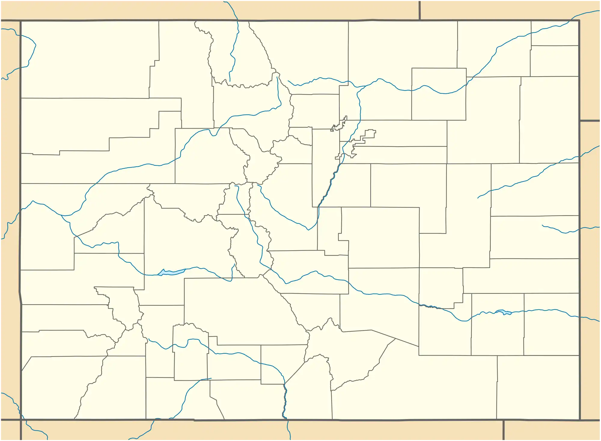 Park Center Location of the Park Center CDP in the State of Colorado. | |
| Coordinates: 38°29′01″N 105°13′26″W / 38.4834745°N 105.2239759°W[1] | |
| Country | |
| State | |
| County | Fremont County |
| Government | |
| • Type | unincorporated community |
| Area | |
| • Total | 6.575 sq mi (17.028 km2) |
| • Land | 6.549 sq mi (16.962 km2) |
| • Water | 0.025 sq mi (0.066 km2) |
| Elevation | 5,518 ft (1,682 m) |
| Population | |
| • Total | 2,953 |
| • Density | 450/sq mi (170/km2) |
| Time zone | UTC-7 (MST) |
| • Summer (DST) | UTC-6 (MDT) |
| ZIP Code[4] | Cañon City 81212 |
| Area code | 719 |
| GNIS feature[2] | Park Center CDP |
Park Center is a census-designated place (CDP) in and governed by Fremont County, Colorado, United States. The CDP is a part of the Cañon City, CO Micropolitan Statistical Area. The population of the Park Center CDP was 2,953 at the United States Census 2020.[3] The Cañon City post office (Zip Code 81212) serves the area.[4]
Geography
The Park Center CDP has an area of 4,208 acres (17.028 km2), including 16 acres (0.066 km2) of water.[1]
Demographics
The United States Census Bureau defined the Park Center CDP for the United States Census 2020.
| Year | Pop. | ±% |
|---|---|---|
| 2020 | 2,953 | — |
| Source: United States Census Bureau | ||
See also
References
- 1 2 3 "State of Colorado Census Designated Places - BAS20 - Data as of January 1, 2020". United States Census Bureau. Retrieved December 22, 2020.
- 1 2 3 "U.S. Board on Geographic Names: Domestic Names". United States Geological Survey. Retrieved December 10, 2020.
- 1 2 United States Census Bureau. "Park Center CDP, Colorado". Retrieved March 31, 2023.
- 1 2 "Zip Code 81212 Map and Profile". zipdatamaps.com. 2020. Retrieved December 22, 2020.
External links
Wikimedia Commons has media related to Park Center, Colorado.
Municipalities and communities of Fremont County, Colorado, United States | ||
|---|---|---|
| Cities |  Map of Colorado highlighting Fremont County | |
| Towns | ||
| CDPs | ||
| Unincorporated communities | ||
| Ghost towns | ||
This article is issued from Wikipedia. The text is licensed under Creative Commons - Attribution - Sharealike. Additional terms may apply for the media files.