Pattani Airport | |||||||||||
|---|---|---|---|---|---|---|---|---|---|---|---|
.jpg.webp) | |||||||||||
| Summary | |||||||||||
| Airport type | Public / Military | ||||||||||
| Operator | Department of Airports | ||||||||||
| Serves | Pattani | ||||||||||
| Location | Bo Thong, Nong Chik, Pattani, Thailand | ||||||||||
| Opened | 1963 | ||||||||||
| Elevation AMSL | 8 ft / 2 m | ||||||||||
| Coordinates | 06°47′08″N 101°09′13″E / 6.78556°N 101.15361°E | ||||||||||
| Maps | |||||||||||
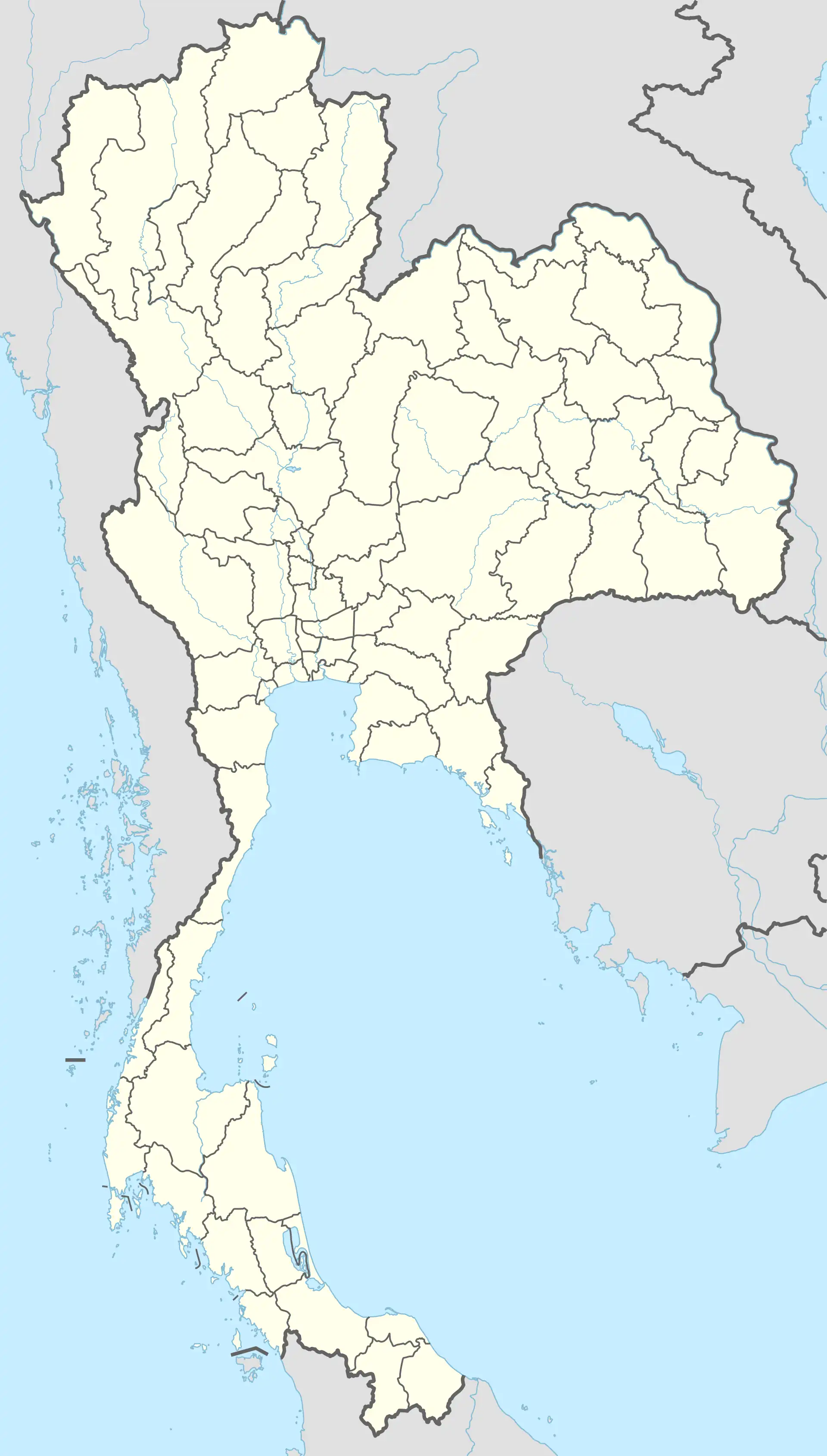 PAN Location of airport in Thailand | |||||||||||
| Runways | |||||||||||
| |||||||||||
Pattani Airport[lower-alpha 1] (IATA: PAN, ICAO: VTSK) is in Bo Thong subdistrict, Nong Chik district, Pattani province in southern Thailand.
Pattani airport receives flights from the Royal Thai Air Force supporting counter-insurgency operations in the Southern provinces.
Notes
References
- ↑ "VTSK - Pattani Airport". Skyvector.com. Retrieved 7 April 2016.
- ↑ "Airline and Airport Code Search". IATA. Retrieved 7 April 2016.
External links
 Pattani travel guide from Wikivoyage
This article is issued from Wikipedia. The text is licensed under Creative Commons - Attribution - Sharealike. Additional terms may apply for the media files.