Native name: Pulau Pemanggil | |
|---|---|
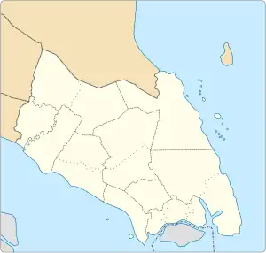 Pemanggil Island in Johor, Malay Peninsular and Malaysia 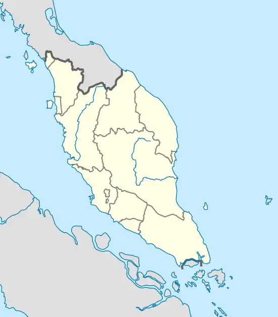 Pemanggil Island (Peninsular Malaysia) 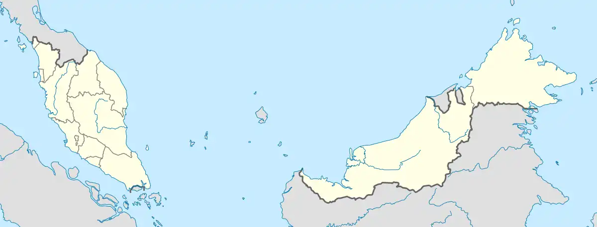 Pemanggil Island (Malaysia) | |
| Geography | |
| Location | South China Sea |
| Coordinates | 2°34′52″N 104°19′37″E / 2.58111°N 104.32694°E |
| Archipelago | Malay Archipelago |
| Total islands | 1 |
| Area | 8.508 km2 (3.285 sq mi) |
| Highest elevation | 223 m (732 ft) |
| Administration | |
| State | |
| District | Mersing |
| Demographics | |
| Population | 34 (2020) |
| Pop. density | 3.996/km2 (10.35/sq mi) |
| Additional information | |
| Time zone |
|
| Postal Code | 86800 |
Pemanggil Island (Malay: Pulau Pemanggil, Chinese: 柏芒吉岛) is an island in Mersing District, Johor, Malaysia.[1][2]
Geography
The island sits 45 km east of Mersing mainland.
Pemanggil Island is known for deep-sea fishing and good hunting grounds for marlins and mackerels. It has also hill at the outcrop of the island. On the north-eastern coast of the island is Teluk Lancang, an isolated bay. At the center of the island lies a huge boulder known locally as Batu Buau which locals regard as sacred.
Transportation
The island is accessible by boat from Mersing Town.
See also
References
- ↑ "Pemanggil Island | Pulau Pemanggil Mersing, Johor, Malaysia". attractionsinmalaysia.com. Retrieved 13 July 2023.
- ↑ "Pulau Pemanggil". Tourism Johor. Archived from the original on 8 September 2019.
External links
This article is issued from Wikipedia. The text is licensed under Creative Commons - Attribution - Sharealike. Additional terms may apply for the media files.