Pentagon Army Heliport | |||||||||||
|---|---|---|---|---|---|---|---|---|---|---|---|
 | |||||||||||
| Summary | |||||||||||
| Airport type | Military | ||||||||||
| Owner/Operator | |||||||||||
| Location | The Pentagon | ||||||||||
| Elevation AMSL | 60 ft / 18 m | ||||||||||
| Coordinates | 38°52.26′N 77°03.27′W / 38.87100°N 77.05450°W | ||||||||||
| Maps | |||||||||||
 NGA diagram of the heliport | |||||||||||
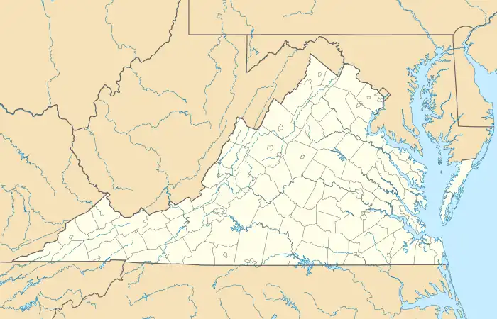 Pentagon AHP Location in Virginia | |||||||||||
| Helipads | |||||||||||
| |||||||||||
Pentagon Army Heliport (ICAO: KJPN, FAA LID: JPN) is a military heliport serving the Pentagon. It consists of a single pentagon-shaped helipad and is located on the northern side of the Pentagon building.[1][2] It is used for ferrying VIPs such as military leaders and foreign guests to and from the Pentagon by helicopter.[3]
References
- 1 2 FAA Airport Form 5010 for JPN PDF, retrieved 2021-09-16
- 1 2 DoD Flight Information Publication (Enroute) - VFR Supplement United States (PDF). St. Louis, Missouri: National Geospatial-Intelligence Agency. 2008. p. 217. Archived (PDF) from the original on 2021-08-30.
- ↑ "Japanese Minister of Defense visits Pentagon". DVIDS. 2014-07-10. Retrieved 2021-09-16.
This article is issued from Wikipedia. The text is licensed under Creative Commons - Attribution - Sharealike. Additional terms may apply for the media files.