Petaca | |
|---|---|
 Petaca Location within the state of New Mexico  Petaca Petaca (the United States) | |
| Coordinates: 36°30′30″N 106°00′38″W / 36.50833°N 106.01056°W | |
| Country | United States |
| State | New Mexico |
| County | Rio Arriba |
| Elevation | 7,274 ft (2,217 m) |
| Time zone | UTC-7 (Mountain (MST)) |
| • Summer (DST) | UTC-6 (MDT) |
| ZIP codes | 87554[1] |
| Area code | 505 |
| GNIS feature ID | 909584[2] |
Petaca is an unincorporated community located in Rio Arriba County, New Mexico, United States. The community is 15 miles (24 km) northeast of El Rito. Petaca has a post office with ZIP code 87554.[1][3]
References
- 1 2 United States Postal Service. "USPS - Look Up a ZIP Code". Retrieved November 28, 2014.
- ↑ "Petaca". Geographic Names Information System. United States Geological Survey, United States Department of the Interior.
- ↑ "Postmaster Finder - Post Offices by ZIP Code". United States Postal Service. Retrieved November 29, 2014.
Municipalities and communities of Rio Arriba County, New Mexico, United States | ||
|---|---|---|
| City | 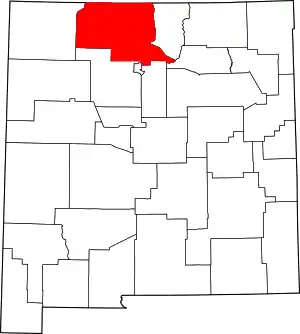 Map of New Mexico highlighting Rio Arriba County | |
| Village | ||
| CDPs |
| |
| Other communities | ||
| Ghost towns and former settlements | ||
| Indian reservations | ||
| Footnotes | ‡This populated place also has portions in an adjacent county or counties | |
This article is issued from Wikipedia. The text is licensed under Creative Commons - Attribution - Sharealike. Additional terms may apply for the media files.