Pijavičino | |
|---|---|
Village | |
 Panorama photo of Potomje and Pijavičino | |
 Pijavičino | |
| Coordinates: 42°56′N 17°21′E / 42.933°N 17.350°E | |
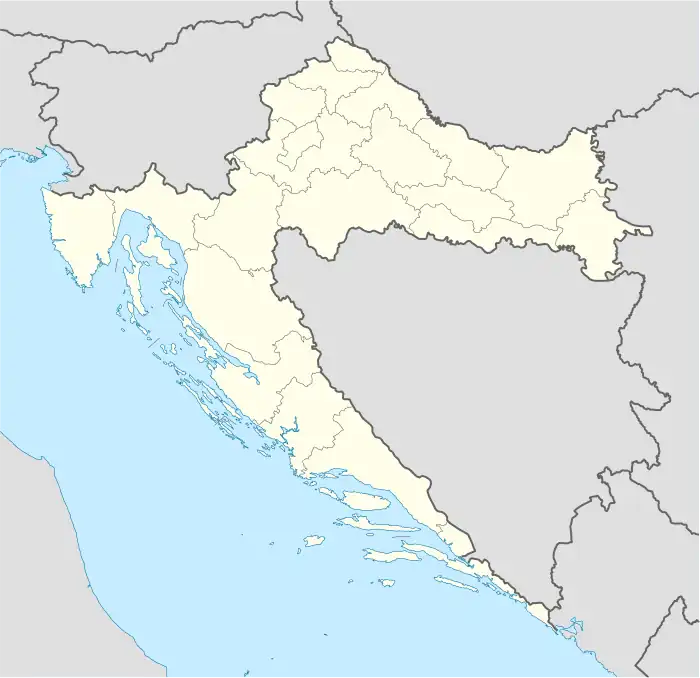
| Country | |
| County | |
| Municipality | Orebić |
| Area | |
| • Total | 4.9 sq mi (12.7 km2) |
| Population (2021)[2] | |
| • Total | 94 |
| • Density | 19/sq mi (7.4/km2) |
| Time zone | UTC+1 (CET) |
| • Summer (DST) | UTC+2 (CEST) |
Pijavičino is a village in Croatia. It is connected by the D414 highway.
Demographics
According to the 2021 census, its population was 94.[2]
References
- ↑ Register of spatial units of the State Geodetic Administration of the Republic of Croatia. Wikidata Q119585703.
- 1 2 "Population by Age and Sex, by Settlements, 2021 Census". Census of Population, Households and Dwellings in 2021. Zagreb: Croatian Bureau of Statistics. 2022.
Wikimedia Commons has media related to Pijavičino.
This article is issued from Wikipedia. The text is licensed under Creative Commons - Attribution - Sharealike. Additional terms may apply for the media files.