Dongarali-Pimpalner | |
|---|---|
village | |
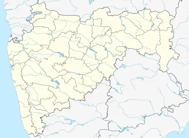 Dongarali-Pimpalner Location in Maharashtra, India  Dongarali-Pimpalner Dongarali-Pimpalner (India) | |
| Coordinates: 19°15′24″N 73°03′56″E / 19.2567833°N 73.0656152°E | |
| Country | India |
| State | Maharashtra |
| District | Thane |
| Taluka | Bhiwandi |
| Elevation | 19 m (62 ft) |
| Population (2011) | |
| • Total | 2,258 |
| Time zone | UTC+5:30 (IST) |
| 2011 census code | 552661 |
Pimpalner is a village in the Thane district of Maharashtra, India. It is located in the Bhiwandi taluka.[1]
Demographics
According to the 2011 census of India, Pimpalner has 444 households. The effective literacy rate (i.e. the literacy rate of population excluding children aged 6 and below) is 83.73%.[2]
| Total | Male | Female | |
|---|---|---|---|
| Population | 2258 | 1240 | 1018 |
| Children aged below 6 years | 304 | 170 | 134 |
| Scheduled caste | 0 | 0 | 0 |
| Scheduled tribe | 151 | 72 | 79 |
| Literates | 1636 | 975 | 661 |
| Workers (all) | 838 | 740 | 98 |
| Main workers (total) | 733 | 665 | 68 |
| Main workers: Cultivators | 97 | 82 | 15 |
| Main workers: Agricultural labourers | 16 | 12 | 4 |
| Main workers: Household industry workers | 11 | 8 | 3 |
| Main workers: Other | 609 | 563 | 46 |
| Marginal workers (total) | 105 | 75 | 30 |
| Marginal workers: Cultivators | 10 | 8 | 2 |
| Marginal workers: Agricultural labourers | 10 | 6 | 4 |
| Marginal workers: Household industry workers | 7 | 3 | 4 |
| Marginal workers: Others | 78 | 58 | 20 |
| Non-workers | 1420 | 500 | 920 |
References
- ↑ "Maharashtra villages" (PDF). Land Records Information Systems Division, NIC. Archived from the original (PDF) on 4 March 2016. Retrieved 17 August 2015.
- 1 2 "District census data". 2011 Census of India. Directorate of Census Operations. Retrieved 17 August 2015.
This article is issued from Wikipedia. The text is licensed under Creative Commons - Attribution - Sharealike. Additional terms may apply for the media files.