| Piz de Setag | |
|---|---|
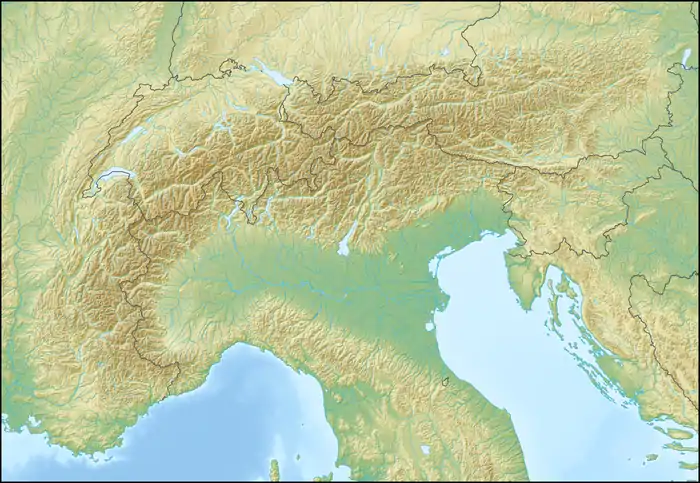 Piz de Setag Location in the Alps | |
| Highest point | |
| Elevation | 2,476 m (8,123 ft) |
| Prominence | 101 m (331 ft)[1] |
| Parent peak | Piz della Forcola |
| Coordinates | 46°17′44″N 9°16′52″E / 46.29556°N 9.28111°E |
| Geography | |
| Location | Lombardy, Italy/Graubünden, Switzerland |
| Parent range | Lepontine Alps |
Piz de Setag is a mountain of the Lepontine Alps, located on the Swiss-Italian border. It is situated between the Val da Montogn (Graubünden) and Val Pilotera (Lombardy).
References
External links
This article is issued from Wikipedia. The text is licensed under Creative Commons - Attribution - Sharealike. Additional terms may apply for the media files.