Polički Vrh | |
|---|---|
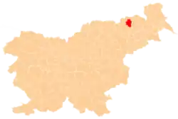
 Polički Vrh Location in Slovenia | |
| Coordinates: 46°38′56.08″N 15°41′43.08″E / 46.6489111°N 15.6953000°E | |
| Country | |
| Traditional region | Styria |
| Statistical region | Drava |
| Municipality | Pesnica |
| Area | |
| • Total | 1.88 km2 (0.73 sq mi) |
| Elevation | 298.9 m (980.6 ft) |
| Population (2002) | |
| • Total | 180 |
| [1] | |
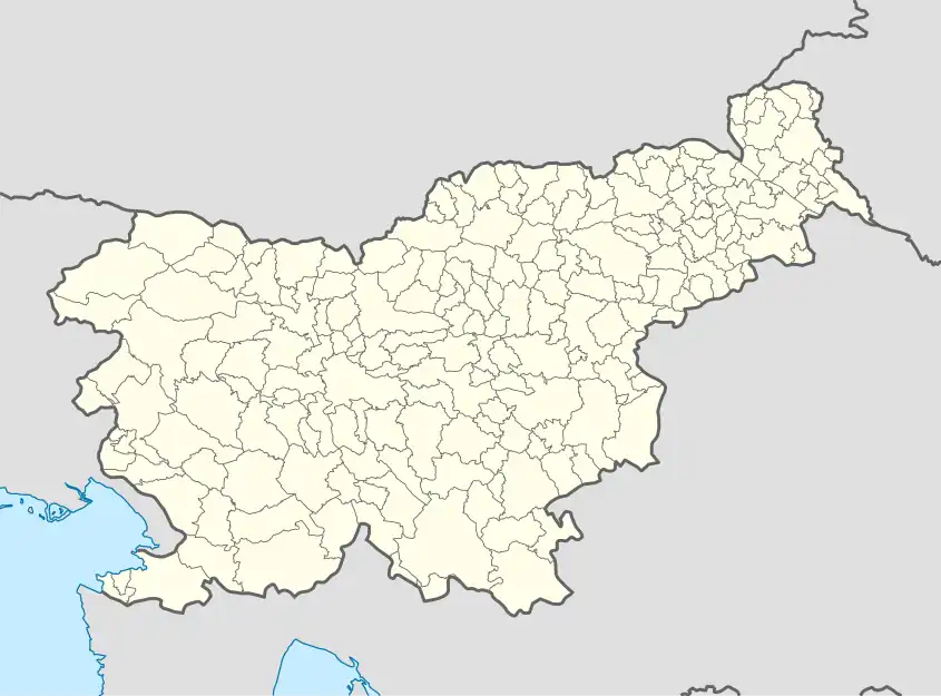
Polički Vrh (pronounced [pɔˈliːtʃki ˈʋəɾx]) is a settlement in the Municipality of Pesnica in northeastern Slovenia. It lies in the Slovene Hills (Slovene: Slovenske gorice), part of the traditional region of Styria. The municipality is now included in the Drava Statistical Region.[2]
A large mansion in the south of the settlement known as the Jarenina Mansion (Slovene: Jareninski dvor) dates to the 17th century, but was mentioned in written documents dating to the late 11th century.[3] Jarenina Creek (Slovene: Jareninski potok) flows through the village.
References
External links
| Settlements | Administrative seat: Pesnica pri Mariboru
|  |
|---|---|---|
| Landmarks |
| |
This article is issued from Wikipedia. The text is licensed under Creative Commons - Attribution - Sharealike. Additional terms may apply for the media files.