Potamos tou Kampou
| |
|---|---|
 Potamos tou Kampou | |
| Coordinates: 35°08′39″N 32°48′28″E / 35.14417°N 32.80778°E | |
| Country (de jure) | |
| • District | Nicosia District |
| Country (de facto) | |
| • District | Lefke District |
| Population (2011)[2] | |
| • Total | 669 |
| Time zone | UTC+2 (EET) |
| • Summer (DST) | UTC+3 (EEST) |
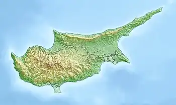
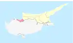
Potamos tou Kampou (Greek: Πoταμός του Κάμπου; Turkish: Yedidalga) is a small village in Cyprus, west of Karavostasi. De facto, it is under the control of Northern Cyprus. According to Cyprus Republic, is a quarter of Karavostasi.[3]
References
- ↑ In 1983, the Turkish Republic of Northern Cyprus unilaterally declared independence from the Republic of Cyprus. The de facto state is not recognised by any UN state except Turkey.
- ↑ "KKTC 2011 Nüfus ve Konut Sayımı" [TRNC 2011 Population and Housing Census] (PDF) (in Turkish). TRNC State Planning Organization. 6 August 2013.
- ↑ "STATISTICAL CODES OF MUNICIPALITIES/COMMUNITIES AND QUARTERS OF CYPRUS, 2015". Statistical Service of the Republic of Cyprus. Archived from the original on 2018-08-04. Retrieved 2018-08-04.
This article is issued from Wikipedia. The text is licensed under Creative Commons - Attribution - Sharealike. Additional terms may apply for the media files.