Pré-en-Pail | |
|---|---|
Part of Pré-en-Pail-Saint-Samson | |
 The town hall in Pré-en-Pail | |
 Coat of arms | |
Location of Pré-en-Pail | |
 Pré-en-Pail 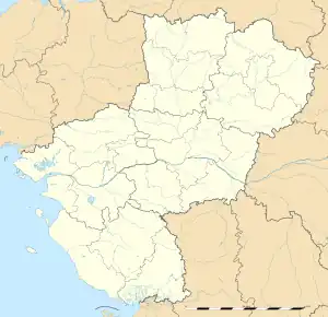 Pré-en-Pail | |
| Coordinates: 48°27′37″N 0°11′58″W / 48.4603°N 0.1994°W | |
| Country | France |
| Region | Pays de la Loire |
| Department | Mayenne |
| Arrondissement | Mayenne |
| Canton | Villaines-la-Juhel |
| Commune | Pré-en-Pail-Saint-Samson |
| Area 1 | 44.73 km2 (17.27 sq mi) |
| Population (2019)[1] | 1,873 |
| • Density | 42/km2 (110/sq mi) |
| Time zone | UTC+01:00 (CET) |
| • Summer (DST) | UTC+02:00 (CEST) |
| Postal code | 53140 |
| Elevation | 174–416 m (571–1,365 ft) (avg. 227 m or 745 ft) |
| 1 French Land Register data, which excludes lakes, ponds, glaciers > 1 km2 (0.386 sq mi or 247 acres) and river estuaries. | |
Pré-en-Pail (French pronunciation: [pʁe ɑ̃ paj]) is a former commune in the Mayenne department in north-western France. On 1 January 2016, it was merged into the new commune of Pré-en-Pail-Saint-Samson.[2]
See also
References
Wikimedia Commons has media related to Pré-en-Pail.
This article is issued from Wikipedia. The text is licensed under Creative Commons - Attribution - Sharealike. Additional terms may apply for the media files.