| Princess Royal Channel | |
|---|---|
 Princess Royal Channel near Work Island | |
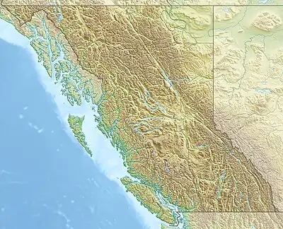 Princess Royal Channel Location in British Columbia | |
| Location | British Columbia, Canada |
| Coordinates | 53°10′N 128°40′W / 53.167°N 128.667°W |
| Type | Channel |
| Ocean/sea sources | Pacific Ocean |
Princess Royal Channel is a channel in the North Coast region of the Canadian province of British Columbia, separating Princess Royal Island from the mainland.[1] The southern half of the channel is also called Graham Reach,[2] and the northern half Fraser Reach.[3]
The southern half of the channel was first charted by George Vancouver in 1793 with his ships Discovery and Chatham, which anchored about mid-way up the channel; James Johnstone, one of Vancouver's lieutenants, charted its northern half the same summer.[4]
References
- ↑ "Princess Royal Channel". BC Geographical Names.
- ↑ "Graham Reach". Canadian Geographical Names. Natural Resources Canada. Retrieved April 24, 2018.
- ↑ "Fraser Reach". Canadian Geographical Names. Natural Resources Canada. Retrieved April 24, 2018.
- ↑ Vancouver, George, and John Vancouver (1801). A voyage of discovery to the North Pacific ocean, and round the world. London: J. Stockdale.
{{cite book}}: CS1 maint: multiple names: authors list (link)
External links
![]() Media related to Princess Royal Channel at Wikimedia Commons
Media related to Princess Royal Channel at Wikimedia Commons
This article is issued from Wikipedia. The text is licensed under Creative Commons - Attribution - Sharealike. Additional terms may apply for the media files.