Profondeville
| |
|---|---|
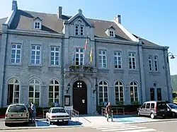 The town hall | |
 Flag  Coat of arms | |
Location of Profondeville | |
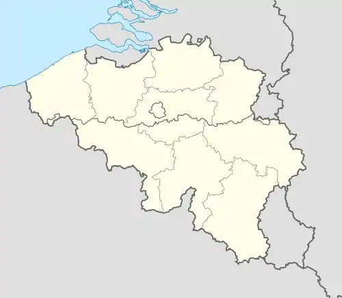 Profondeville Location in Belgium
Location of Profondeville in Namur Province 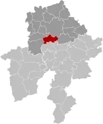 | |
| Coordinates: 50°23′N 04°52′E / 50.383°N 4.867°E | |
| Country | |
| Community | French Community |
| Region | Wallonia |
| Province | Namur |
| Arrondissement | Namur |
| Government | |
| • Mayor | Luc Delire |
| • Governing party/ies | MICS, Ecolo, PS |
| Area | |
| • Total | 50.37 km2 (19.45 sq mi) |
| Population (2018-01-01)[1] | |
| • Total | 12,204 |
| • Density | 240/km2 (630/sq mi) |
| Postal codes | 5170 |
| NIS code | 92101 |
| Area codes | 081 |
| Website | www.profondeville.be |
Profondeville (French: [pʁɔ.fɔ̃d.vil]; Walloon: Parfondveye) is a municipality of Wallonia located in the province of Namur, Belgium.
On January 1, 2016, Profondeville had a total population of 12,117. The total area of the municipality is 50.34 km2 (19.44 sq mi) and the population density is 240.70 inhabitants per km².
The original municipality of Profondeville was expanded, during the post-1974 fusion of the Belgian municipalities, with the addition of the ancienne communes of Arbre, Bois-de-Villers, Lesve, Lustin, Rivière and the Lakisse area from the southeast of the newly-adjoining municipality of Floreffe.
Gallery
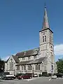 Profondeville, church: église Saint-Remy
 Rivière, church
Twin towns
 Roquebrune-Cap-Martin, France
See also
References
- ↑ "Wettelijke Bevolking per gemeente op 1 januari 2018". Statbel. Retrieved 9 March 2019.
External links
 Media related to Profondeville at Wikimedia Commons
- Official website
Places adjacent to Profondeville | |
|---|---|
Municipalities in the province of Namur, Wallonia | ||
|---|---|---|
| Dinant |  | |
| Namur | ||
| Philippeville | ||
Bold indicates cities | ||
This article is issued from Wikipedia. The text is licensed under Creative Commons - Attribution - Sharealike. Additional terms may apply for the media files.