Puerto Nare Airport | |||||||||||
|---|---|---|---|---|---|---|---|---|---|---|---|
| Summary | |||||||||||
| Airport type | Public | ||||||||||
| Serves | Puerto Nare, Colombia | ||||||||||
| Elevation AMSL | 479 ft / 146 m | ||||||||||
| Coordinates | 6°12′35″N 74°35′28″W / 6.20972°N 74.59111°W | ||||||||||
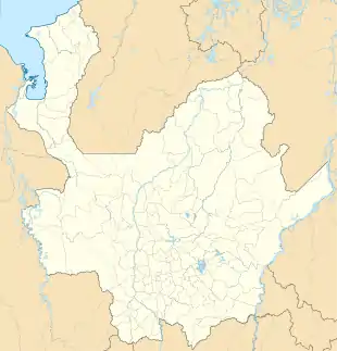
| Map | |||||||||||
 NAR  NAR | |||||||||||
| Runways | |||||||||||
| |||||||||||
Puerto Nare Airport (IATA: NAR, ICAO: SKPN) is an airport serving the river town of Puerto Nare in the Antioquia Department of Colombia.
The airport is at the confluence of the Samaná Norte River into the Magdalena River, 2.5 kilometres (1.6 mi) north of the town. Runway length does not include a 90 metres (300 ft) paved overrun on the east end.
See also
References
- ↑ Airport information for NAR at Great Circle Mapper.
- ↑ Google Maps - Puerto Nare
External links
This article is issued from Wikipedia. The text is licensed under Creative Commons - Attribution - Sharealike. Additional terms may apply for the media files.