Punta Patiño Airport | |||||||||||
|---|---|---|---|---|---|---|---|---|---|---|---|
| Summary | |||||||||||
| Airport type | Public | ||||||||||
| Serves | Punta Patiño, Panama | ||||||||||
| Elevation AMSL | 30 ft / 9 m | ||||||||||
| Coordinates | 8°15′10″N 78°16′45″W / 8.25278°N 78.27917°W | ||||||||||
| Map | |||||||||||
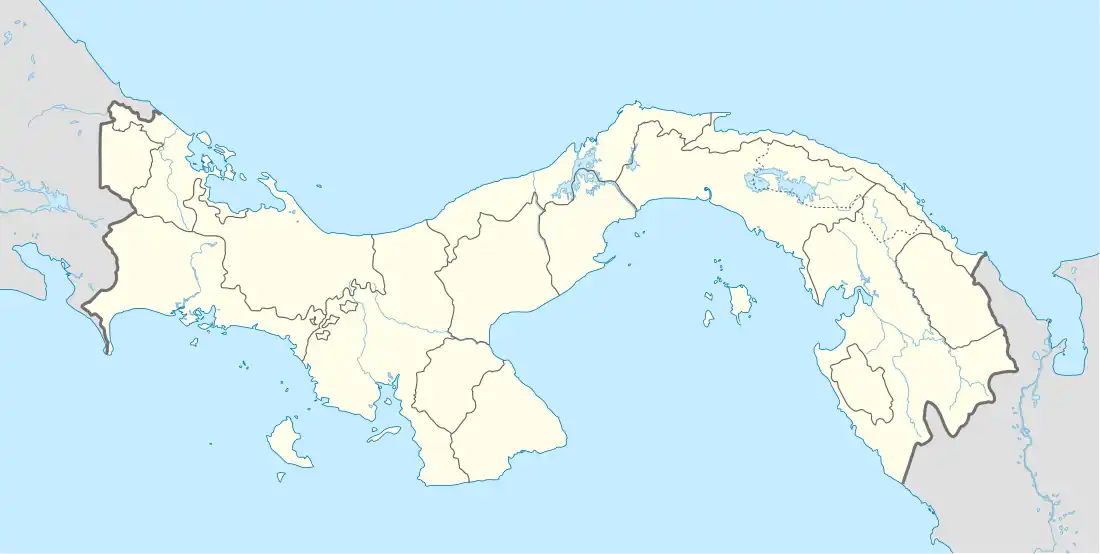
 Punta Patiño Location of the airport in Panama | |||||||||||
| Runways | |||||||||||
| |||||||||||
Sources: Bing Maps[1] | |||||||||||
Punta Patiño Airport is an airstrip serving the Punta Patiño nature reserve in the Darién Province of Panama. The runway follows along the shoreline of the Bay of San Miguel.[1]
Air Panama offers charter service to Punta Patiño.[2]
See also
References
- 1 2 Bing Maps - Punta Patiño
- ↑ "Air Panama charter to Punta Patiño". Archived from the original on 2017-09-25. Retrieved 2017-09-25.
External links
This article is issued from Wikipedia. The text is licensed under Creative Commons - Attribution - Sharealike. Additional terms may apply for the media files.