Punta de Vacas Heliport | |||||||||||
|---|---|---|---|---|---|---|---|---|---|---|---|
| Summary | |||||||||||
| Airport type | Public | ||||||||||
| Serves | Punta de Vacas, Argentina | ||||||||||
| Elevation AMSL | 7,906 ft / 2,410 m | ||||||||||
| Coordinates | 32°51′03″S 69°45′26″W / 32.85083°S 69.75722°W | ||||||||||
| Map | |||||||||||
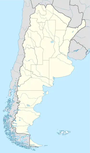 SAML Location of heliport in Argentina | |||||||||||
| Helipads | |||||||||||
| |||||||||||
Punta de Vacas Heliport (ICAO: SAML) is a high elevation heliport at Punta de Vacas, a hamlet in the Mendoza Province of Argentina. Punta de Vacas is on the National Route 7 highway in the narrow mountain valley of the Mendoza River.
There is close mountainous terrain in all quadrants. The Mendoza VOR-DME (Ident: DOZ) is located 48.9 nautical miles (91 km) east of the heliport.[4]
See also
References
- ↑ Airport record for Punta de Vacas Heliport at Landings.com. Retrieved 5 August 2013
- ↑ Google (5 August 2013). "location of Punta de Vacas Heliport" (Map). Google Maps. Google. Retrieved 5 August 2013.
- ↑ "Punta de Vacas Heliport". Falling Rain. Retrieved 2 May 2019.
- ↑ "Mendoza VOR". Our Airports. Retrieved 2 May 2019.
External links
- OpenStreetMap - Punta de Vacas
- OurAirports - Punta de Vacas Airport
- Accident history for SAML at Aviation Safety Network
This article is issued from Wikipedia. The text is licensed under Creative Commons - Attribution - Sharealike. Additional terms may apply for the media files.