Quintero Airport | |||||||||||||||
|---|---|---|---|---|---|---|---|---|---|---|---|---|---|---|---|
| Summary | |||||||||||||||
| Airport type | Public/Military | ||||||||||||||
| Serves | Quintero, Chile | ||||||||||||||
| Elevation AMSL | 12 ft / 4 m | ||||||||||||||
| Coordinates | 32°47′30″S 71°31′15″W / 32.79167°S 71.52083°W | ||||||||||||||
| Map | |||||||||||||||
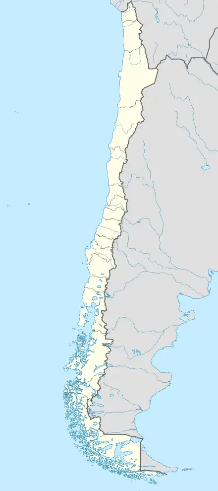 SCER Location of Quintero Airport in Chile | |||||||||||||||
| Runways | |||||||||||||||
| |||||||||||||||
Quintero Airport (Spanish: Aeropuerto de Quintero), (ICAO: SCER) is an airport serving Quintero, a Pacific coastal city in the Valparaíso Region of Chile.
Runway 20 has a 140 metres (460 ft) paved overrun. Runway 18 has a 150 metres (490 ft) paved overrun and a 330 metres (1,080 ft) displaced threshold. Approaches from the north to both runways are over the water.
The Ventanas VOR-DME (Ident: VTN) and Qintero non-directional beacon (Ident: ERO) are co-located across the bay 3.0 nautical miles (5.6 km) off the approach threshold of Runway 20.[4][5]
See also
References
- ↑ Airport record for Quintero Airport at Landings.com. Retrieved 2013-09-11
- ↑ Google (2013-09-11). "location of Quintero Airport" (Map). Google Maps. Google. Retrieved 2013-09-11.
- ↑ Airport information for Quintero Airport at Great Circle Mapper.
- ↑ Ventanas VOR
- ↑ Qintero NDB
External links
- OpenStreetMap - Quintero
- SkyVector - Quintero
- FallingRain - Quintero Airport
- Accident history for Quintero Airport at Aviation Safety Network
This article is issued from Wikipedia. The text is licensed under Creative Commons - Attribution - Sharealike. Additional terms may apply for the media files.