Rúbaň
Fűr | |
|---|---|
Village | |
 | |
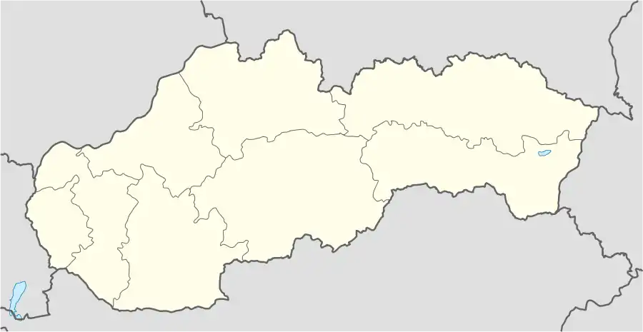 Rúbaň Location of Rúbaň in Slovakia | |
| Coordinates: 47°56′N 18°24′E / 47.933°N 18.400°E | |
| Country | Slovakia |
| Region | Nitra |
| District | Nové Zámky |
| First mentioned | 1268 |
| Area | |
| • Total | 16.10[1] km2 (6.22[1] sq mi) |
| Elevation | 135[2] m (443[2] ft) |
| Population (2021) | |
| • Total | 922[3] |
| Postal code | 941 36[2] |
| Area code | +421 35[2] |
| Car plate | NZ |
| Website | www |
Rúbaň (Hungarian: Fűr) is a village and municipality in the Nové Zámky District in the Nitra Region of south-west Slovakia.
History
In historical records the village was first mentioned in 1268.
Geography
The municipality lies at an altitude of 134 metres and covers an area of 16.109 km². It has a population of about 1000 people.
Ethnicity
Facilities
The village has a small public library and a football pitch.
References
- 1 2 "Hustota obyvateľstva - obce [om7014rr_ukaz: Rozloha (Štvorcový meter)]". www.statistics.sk (in Slovak). Statistical Office of the Slovak Republic. 2022-03-31. Retrieved 2022-03-31.
- 1 2 3 4 "Základná charakteristika". www.statistics.sk (in Slovak). Statistical Office of the Slovak Republic. 2015-04-17. Retrieved 2022-03-31.
- ↑ "Počet obyvateľov podľa pohlavia - obce (ročne)". www.statistics.sk (in Slovak). Statistical Office of the Slovak Republic. 2022-03-31. Retrieved 2022-03-31.
External links
This article is issued from Wikipedia. The text is licensed under Creative Commons - Attribution - Sharealike. Additional terms may apply for the media files.