Ramotswa station/Taung | |
|---|---|
Town | |
 Ramotswa station/Taung | |
| Coordinates: 24°58′41″S 25°40′42″E / 24.97806°S 25.67833°E | |
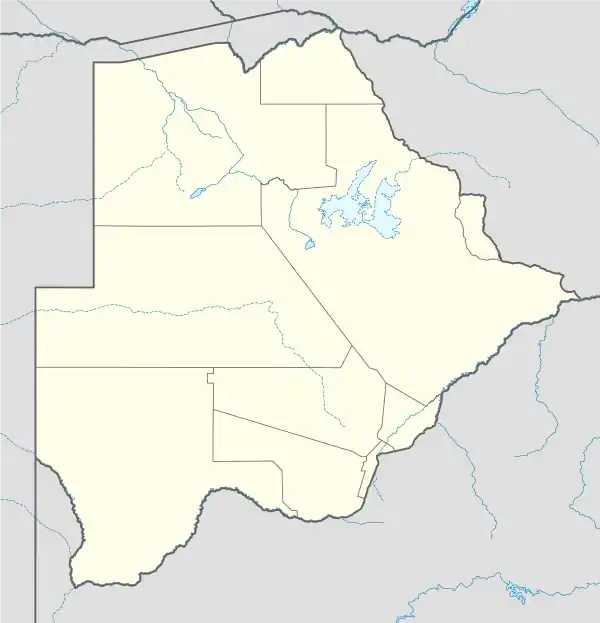
| Country | Botswana |
| District | South-East District |
| Population (2011)[1] | |
| • Total | 4,250 |
| Time zone | GMT +2 |
| Climate | BSh |
Ramotswa station/Taung is a town in South-East District of Botswana, southwest of the capital of Gaborone. The population was 4,250 in 2011 census.[1][2]
References
- 1 2 "2011 Botswana Population and Housing Census" (PDF). Archived from the original (PDF) on 13 November 2016. Retrieved 2 December 2020.
- ↑ "Population and Housing Census 2011: South East" (PDF). Archived from the original (PDF) on 1 December 2020. Retrieved 2 December 2020.
This article is issued from Wikipedia. The text is licensed under Creative Commons - Attribution - Sharealike. Additional terms may apply for the media files.