Reichenberg | |
|---|---|
_COA.svg.png.webp) Coat of arms | |
Location of Reichenberg within Rhein-Lahn-Kreis district  | |
 Reichenberg 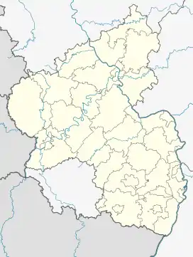 Reichenberg | |
| Coordinates: 50°09′31″N 7°45′35″E / 50.15861°N 7.75972°E | |
| Country | Germany |
| State | Rhineland-Palatinate |
| District | Rhein-Lahn-Kreis |
| Municipal assoc. | Loreley |
| Government | |
| • Mayor (2019–24) | Karl Heinz Goerke[1] |
| Area | |
| • Total | 3.23 km2 (1.25 sq mi) |
| Elevation | 190 m (620 ft) |
| Population (2021-12-31)[2] | |
| • Total | 154 |
| • Density | 48/km2 (120/sq mi) |
| Time zone | UTC+01:00 (CET) |
| • Summer (DST) | UTC+02:00 (CEST) |
| Postal codes | 56357 |
| Dialling codes | 06771 |
| Vehicle registration | EMS, DIZ, GOH |
| Website | www.reichenberg-rlp.de |
Reichenberg is a municipality in the district of Rhein-Lahn, in Rhineland-Palatinate, in western Germany.
Geography
Reichenberg is situated near the famous Loreley rock and lies approximately 2 km east of the river Rhine in the section known as the Rhine Gorge. The small village belongs to the UNESCO World Heritage Upper Middle Rhine Valley.
References
- ↑ Direktwahlen 2019, Rhein-Lahn-Kreis, Landeswahlleiter Rheinland-Pfalz, accessed 5 August 2021.
- ↑ "Bevölkerungsstand 2021, Kreise, Gemeinden, Verbandsgemeinden" (in German). Statistisches Landesamt Rheinland-Pfalz. 2022.

Reichenberg Castle
This article is issued from Wikipedia. The text is licensed under Creative Commons - Attribution - Sharealike. Additional terms may apply for the media files.