Rheber, Kentucky | |
|---|---|
 Rheber, Kentucky | |
| Coordinates: 37°15′33″N 85°01′19″W / 37.25917°N 85.02194°W | |
| Country | United States |
| State | Kentucky |
| County | Casey |
| Elevation | 1,060 ft (320 m) |
| Time zone | UTC-6 (Central (CST)) |
| • Summer (DST) | UTC-5 (CDT) |
| Area code | 606 |
| GNIS feature ID | 508928[1] |
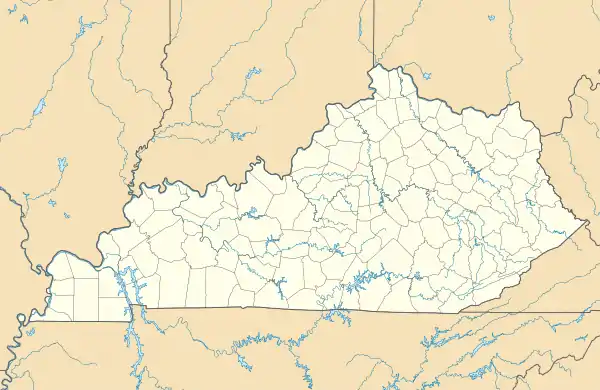
Rheber is an unincorporated community in Casey County, Kentucky, United States.[1][2]
Notes
- 1 2 "Rheber, Kentucky". Geographic Names Information System. United States Geological Survey, United States Department of the Interior.
- ↑ "State Primary Road System, CASEY COUNTY, KENTUCKY" (PDF). May 8, 2018. Retrieved October 28, 2018.
Municipalities and communities of Casey County, Kentucky, United States | ||
|---|---|---|
| City | 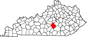 Location of Casey County, Kentucky | |
| Unincorporated Communities | ||
| Ghost Towns | ||
This article is issued from Wikipedia. The text is licensed under Creative Commons - Attribution - Sharealike. Additional terms may apply for the media files.