Ribeira Seca | |
|---|---|
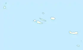 Ribeira Seca Location in the Azores 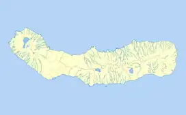 Ribeira Seca Ribeira Seca (São Miguel) | |
| Coordinates: 37°43′17″N 25°25′24″W / 37.72139°N 25.42333°W | |
| Country | |
| Auton. region | Azores |
| Island | São Miguel |
| Municipality | Vila Franca do Campo |
| Established | Settlement: fl. 1500 Parish: fl. 1900 Civil parish: 13 June 2002 |
| Area | |
| • Total | 5.53 km2 (2.14 sq mi) |
| Elevation | 51 m (167 ft) |
| Population (2011) | |
| • Total | 1,106 |
| • Density | 200/km2 (520/sq mi) |
| Time zone | UTC−01:00 (AZOT) |
| • Summer (DST) | UTC±00:00 (AZOST) |
| Postal code | 9680-021 |
| Area code | 292 |
| Patron | São João Baptiste |
| Website | jfribeiraseca |
Ribeira Seca (Portuguese for "dry stream") is a civil parish in the municipality of Vila Franca do Campo on the island of São Miguel in the Portuguese archipelago of the Azores. The population in 2011 was 1,106,[1] in an area of 5.53 km2.[2]
History
In June 2002, the civil parish was divided from the neighbouring parish of São Miguel to form its own autonomous local authority.
References
- ↑ Instituto Nacional de Estatística
- ↑ Eurostat Archived October 7, 2012, at the Wayback Machine
This article is issued from Wikipedia. The text is licensed under Creative Commons - Attribution - Sharealike. Additional terms may apply for the media files.