Richland | |
|---|---|
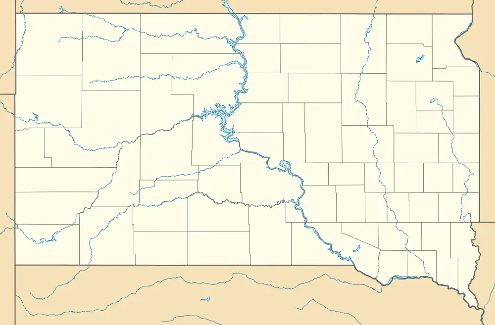 Richland Location within the state of South Dakota  Richland Richland (the United States) | |
| Coordinates: 42°45′20″N 96°38′31″W / 42.75556°N 96.64194°W | |
| Country | United States |
| State | South Dakota |
| County | Union |
| Area | |
| • Total | 5.65 sq mi (14.62 km2) |
| • Land | 5.65 sq mi (14.62 km2) |
| • Water | 0.00 sq mi (0.00 km2) |
| Elevation | 1,161 ft (354 m) |
| Population | |
| • Total | 97 |
| • Density | 17.18/sq mi (6.63/km2) |
| Time zone | UTC-6 (Central (CST)) |
| • Summer (DST) | UTC-5 (CDT) |
| FIPS code | 46-54750 |
| GNIS feature ID | 2628849[2] |
Richland is a small unincorporated community and census-designated place (CDP) in Union County, South Dakota, United States. The population was 97 at the 2020 census.[4]
History
In 1861, the community was founded by and named after Milton M. Rich of Chicago. Mr. Rich was reported to have dreamed of building a community below the bluffs. However, it was also reported that Mr. Rich disagreed with railroad officials on how to divide the site of the town. The dispute was never resolved; and as a result, the railroad was deflected to Sioux City, Iowa after reaching Le Mars, Iowa.
Demographics
| Census | Pop. | Note | %± |
|---|---|---|---|
| 2020 | 97 | — | |
| U.S. Decennial Census[5] | |||
References
- ↑ "ArcGIS REST Services Directory". United States Census Bureau. Retrieved October 15, 2022.
- 1 2 U.S. Geological Survey Geographic Names Information System: Richland, South Dakota
- ↑ "Census Population API". United States Census Bureau. Retrieved October 15, 2022.
- ↑ "U.S. Census Bureau: Richland CDP, South Dakota". www.census.gov. United States Census Bureau. Retrieved May 6, 2022.
- ↑ "Census of Population and Housing". Census.gov. Retrieved June 4, 2016.
External links
Municipalities and communities of Union County, South Dakota, United States | ||
|---|---|---|
| Cities | 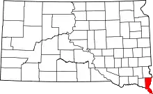 | |
| Townships | ||
| CDPs | ||
| Other communities | ||
| Ghost town | ||
| Footnotes | ‡This populated place also has portions in an adjacent county or counties | |
This article is issued from Wikipedia. The text is licensed under Creative Commons - Attribution - Sharealike. Additional terms may apply for the media files.