Ring Hill Airport | |||||||||||
|---|---|---|---|---|---|---|---|---|---|---|---|
| Summary | |||||||||||
| Airport type | Public use | ||||||||||
| Owner | Charles B. Nute | ||||||||||
| Serves | Carmel, Maine | ||||||||||
| Elevation AMSL | 340 ft / 104 m | ||||||||||
| Coordinates | 44°47′29″N 69°04′18″W / 44.79139°N 69.07167°W | ||||||||||
| Map | |||||||||||
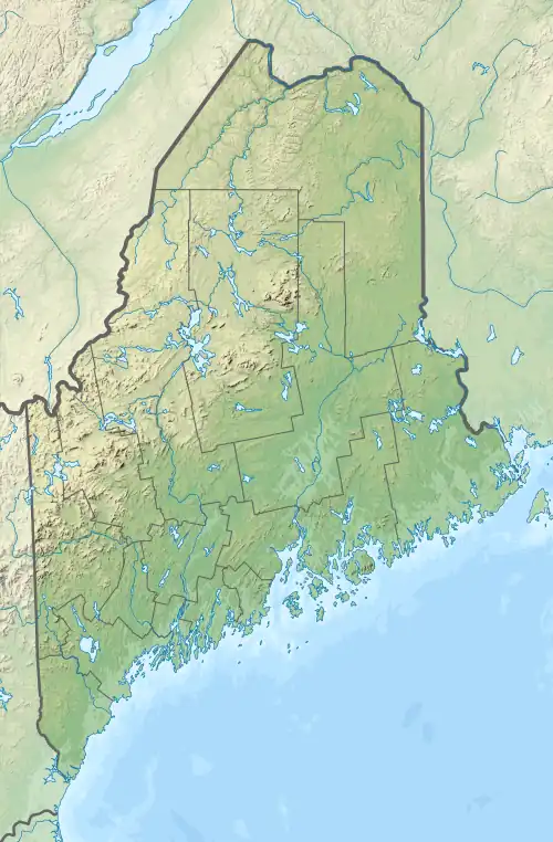 38B Location of airport in Maine  38B 38B (the United States) | |||||||||||
| Runways | |||||||||||
| |||||||||||
Ring Hill Airport (FAA LID: 38B) is a privately owned, public use airport in Penobscot County, Maine, United States.[1] It is located one nautical mile (2 km) west of the central business district of Carmel, Maine.[1]
Facilities
Ring Hill Airport covers an area of 8 acres (3 ha) at an elevation of 340 feet (104 m) above mean sea level. It has one runway designated 16/34 with a turf surface measuring 1,100 by 60 feet (335 x 18 m).[1]
See also
References
External links
- Aerial image and Topographic map from USGS The National Map
- Aeronautical chart at SkyVector
This article is issued from Wikipedia. The text is licensed under Creative Commons - Attribution - Sharealike. Additional terms may apply for the media files.