Road signs in Cyprus are regulated in Law of Street (Greek: Κώδικας Οδικής Κυκλοφορίας, romanized: Kódikas Odikís Kykloforías).[1] They follow the road signs used in most European countries, including European Union countries (France, Germany, Italy and etc.), to which Cyprus joined in 2004, as set out in the Vienna Convention on Road Signs and Signals. Cyprus acceded to the Convention on August 16, 2016.[2]
Road signs in Cyprus are similar to road signs used in the United Kingdom since the country was a British colony until 1960 when Cyprus became an independent republic. Some signs are similar to road signs used in Greece. The only exception is that inscriptions on road signs are in Greek and Latin scripts and metric system units are used instead of the Imperial System of units (miles and yards). Distances on road signs are indicated in kilometers. The same applies to Akrotiri and Dhekelia where some road signs are in Turkish as well as English and Greek. Cyprus drives on the left.
Categorisation
Warning signs
Warning signs in Cyprus have a triangular shape with a red border and a white background, as in most European countries, while in Greece, warning signs have a yellow background instead of white.
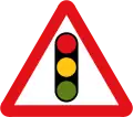 Traffic signals ahead
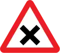 Crossroads
.svg.png.webp) T-junction
T-junction.svg.png.webp) Side road
Side road.svg.png.webp) Staggered junction
Staggered junction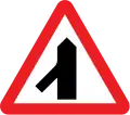 Traffic merges from the left
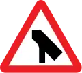 Traffic merges onto the main carriageway
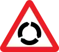 Roundabout
.svg.png.webp) Bend to right (left if symbol reversed)
Bend to right (left if symbol reversed).svg.png.webp) Double bend first to the left (right if symbol reversed)
Double bend first to the left (right if symbol reversed).svg.png.webp) Junction on a bend (symbols may be reversed)
Junction on a bend (symbols may be reversed).svg.png.webp) Junction on a bend (symbols may be reversed)
Junction on a bend (symbols may be reversed)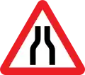 Road narrows on both sides
.svg.png.webp) Road narrows on the right (left if symbols reversed)
Road narrows on the right (left if symbols reversed)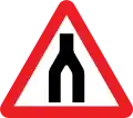 End of dual carriageway
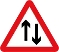 Two-way traffic
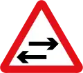 Two-way traffic on route crossing ahead
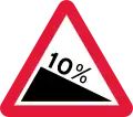 Steep descent
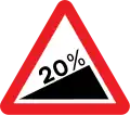 Steep ascent
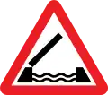 Opening or swing bridge
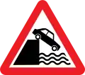 Riverbank or quayside
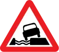 Water course alongside road
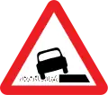 Soft verges
 Soft verges
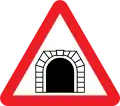 Tunnel
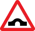 Hump bridge
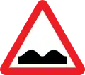 Uneven road
 Slippery road
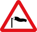 Side winds
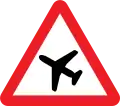 Low-flying aircraft or sudden aircraft noise
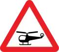 Low-flying helicopters or sudden helicopter noise
.svg.png.webp) Falling or fallen rocks
Falling or fallen rocks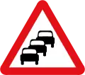 Traffic queues likely ahead
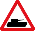 Slow-moving military vehicles likely to be in or crossing the road
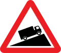 Slow-moving vehicles
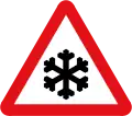 Ice or Snowdrifts
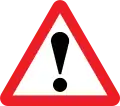 Other dangers (plate must be used to indicate the hazard)
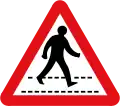 Zebra crossing
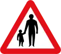 Pedestrians ahead
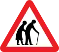 Frail pedestrians likely to cross
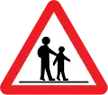 Children going to or from school
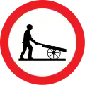
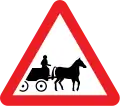 Horse-drawn vehicles likely to be in the road
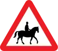 Accompanied horses or ponies likely to be in or crossing the road
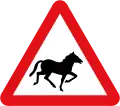 Wild horses or ponies
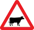
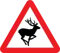 Wild animals
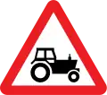

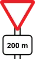 Give way ahead (200 m)
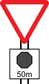 Stop ahead (50 m)
Additional markings
 Distance to level crossing
 Obstacle
 Obstacle left
 Obstacle right
Regulatory signs
Prohibitory or restriction signs
 No hand vehicles
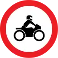 No motorcycles
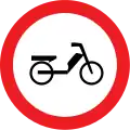 No mopeds
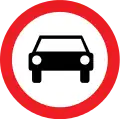 No motor vehicles
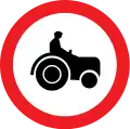 No agricle vehicles
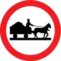 No animal-drawn vehicles
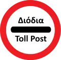 Toll post
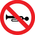 No horn
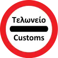 Customs
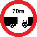 Minimum distance
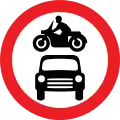 No motor vehicles (both car and motorcycle)
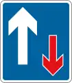 Traffic has priority over vehicles from the opposite direction
 Road closed to all vehicles in both directions
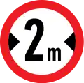 No vehicles with a maximum width beyond 2 meters
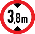 No vehicles with a maximum height exceeding 3.8 meters
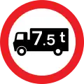 No goods vehicles exceeding a weight of 7.5 t
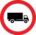 No goods veicles
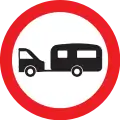 No towed caravans
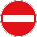 No Entry for vehicular traffic
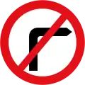 No right turn for vehicular traffic
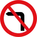 No left turn for vehicular traffic
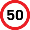 Maximum speed limit
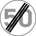 End of maximum speed limit
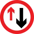 Priority must be given to vehicles from the opposite direction
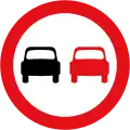 No overtaking
 End of no overtaking
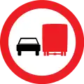 No overtaking by vehicles
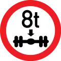 Maximum single weight
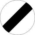 End of all local bans on moving vehicles
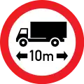 Maximum length
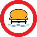 No water heavy vehicles
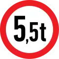 Maximum heavy
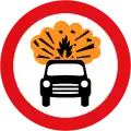 Vehicles carrying explosives (such as fireworks) prohibited.
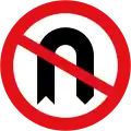 No U-turns for vehicular traffic
Other regulatory signs
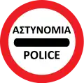 Police
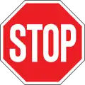
 Priority road
 End of priority road
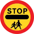 Stop, crossroads by children
 Go ahead or proceed for temporary road works using a hand sign
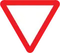
 Controlled block stopping is prohibited except when waiting for a right turn
No parking signs
 No parking
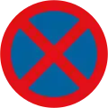 No stopping
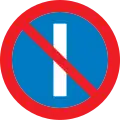 No parking on odd days
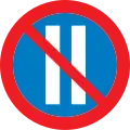 No parking on even days
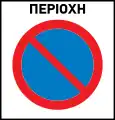 No parking zone
 End of no parking zone
Mandatory signs
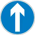 Go straight ahead only
.svg.png.webp) Turn left
Turn left.svg.png.webp) Turn right
Turn right.svg.png.webp) Turn left ahead
Turn left ahead.svg.png.webp) Turn right ahead
Turn right ahead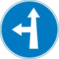 Go straight or turn left ahead
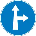 Go straight or turn right ahead
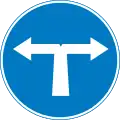 Turn left or right ahead
.svg.png.webp) Keep left
Keep left.svg.png.webp) Keep right
Keep right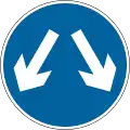 Pass on either side
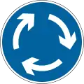

 One-way lateral road
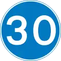 Minimum speed limit
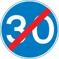 End of minimum speed limit
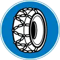 Snow chains mandatory
 Horse street mandatory
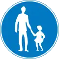 Pedestrian road mandatory
Signs for traffic reduction measures
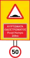 Curving road surface, the speed limit is set at 50 km/h
 Curving road surface, the speed limit is set at 30 km/h
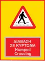 Humped crossing
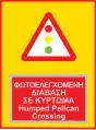 Humped pellcan crossing
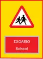 School
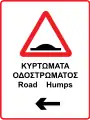 Road humps left
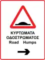 Road humps right
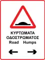 Road humps
Information signs
 Confirmation sign
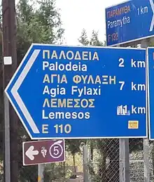
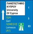
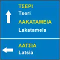 Direction sign
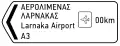 Direction sign
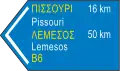 Direction sign
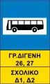 Bus stop
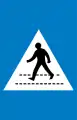 Pedestrian crossing
 Parking
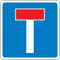 Dead end straight ahead
 Dead end left
 Dead end right
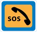 Emergency phone
 Express road
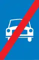 End of expressway
 Open road (Only for vehicles with snow chains)
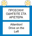 Warning for driving on the left (in Akrotiri and Dhekelia)
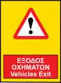 Vehicle exit
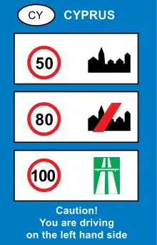 General speed limits
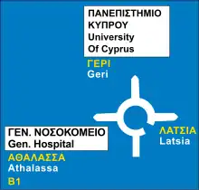 Direction sign at a roundabout
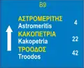 Confirmation sign
Additional signs
 Allowed only for disabled vehicles
 Principle of validity of a no stopping and parking sign placed perpendicular to the axis of the street
 Repetition of the validity of a stop and parking prohibition sign placed perpendicular to the axis of the street
 End of validity of a stop and parking prohibition sign placed perpendicular to the axis of the street
 Distance from the sign to the dangerous point or area of prohibition or restriction
 Length of the hazardous section or area in which a prohibition or restriction applies
![Principle of validity of a no stopping and parking sign placed parallel to the axis of the street. The validity of the plate extends over [e.g. 10 m] from the position of the sign and in the direction of the arrow](../I/Vienna_Convention_road_sign_H3a-V1-1.svg.png.webp) Principle of validity of a no stopping and parking sign placed parallel to the axis of the street. The validity of the plate extends over [e.g. 10 m] from the position of the sign and in the direction of the arrow
Principle of validity of a no stopping and parking sign placed parallel to the axis of the street. The validity of the plate extends over [e.g. 10 m] from the position of the sign and in the direction of the arrow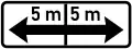 Reminder of the validity of a no stopping and parking sign placed parallel to the axis of the street. The validity of the plate extends over (e.g. 5m) on both sides of the sign's location.
 Icy road
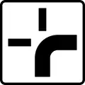 Direction of priority road
Other signs
Local and special signs
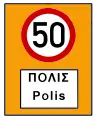 Entering a residential area - The speed limit is limited to a certain percentage. For example, entrance to the settlement of Polis, where the limit is set at 50 km/h.
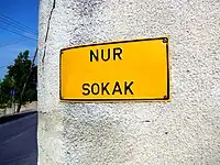
Street name signs
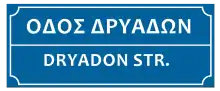
Street name signs are not legally defined as signs in the KOK. This gives authorities flexibility in their design and placement. They can be fixed to a pole, wall or building. The text is in ARIAL font. In the free parts of the island (at least), the signs are identical to those in Greece (white letters on a blue background.), and the text reads: ΟΔΟΣ XXXXX/YYYYYY STR. (Where XXXXX in Greek and YYYYYY in English).
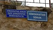
However, in the Turkish-occupied territories, designs vary. The signs placed near the Green Line have three languages, Greek, English and Turkish, and the text is XXXXX SOKAK/STREET YYYYY/ZZZZZZ Str. (Where XXXXX in Turkish, YYYYY in Greek and ZZZZZ in English.). In the rest of the occupied parts it is only in Turkish and is black letters on a yellow background.
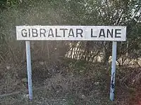
Likewise, in Akrotiri and Dekelia, the signs are white with black letters.
Other official signs
 Highway
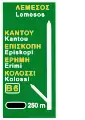 Highway exit warning
 Motorway exit
 Cycle lane
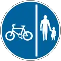 Cycle path separated from pedestrian path.
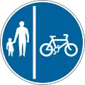 Cycle path separated from pedestrian path. (Alternative)
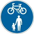 Road shared by cyclists and pedestrians.
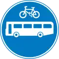 Road shared by bicycles and buses
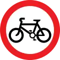 No bicycles allowed
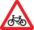 Road with special measures for cyclists.
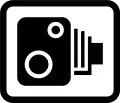 Speed camera
Road signs in Akrotiri and Dhekelia
Although Akrotiri and Dhekelia is a British Overseas Territory and it has British military bases and installations formerly part of the Crown colony of Cyprus, there is no differentiation in terms of signs and they are defined by the same legislation that is defined in most of the island.[3]
Northern Cyprus
In the Turkish Republic of Northern Cyprus formed after the Turkish invasion of Cyprus in 1974 and declared its independence from the Republic of Cyprus in 1983, road signs have the same design features as those used in Turkey. Typical differences from signs used in the Republic of Cyprus are:
- DUR instead of STOP on stop sign, although in some cases STOP appears together with DUR or just STOP, despite the rule;
- Red crescent instead of red cross on first aid signs and text in Turkish.
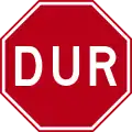 Turkish stop sign
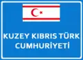 "Turkish Republic of Northern Cyprus" — TRNC sign, where it is placed at the "border" customs with the free piece
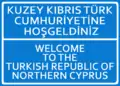 "Welcome to the Turkish Republic of Northern Cyprus" — TRNC sign, where it is placed at the "border" customs with the free piece
 Roundabout sign leading to Nicosia, Larnaca, Athienou and the Turkish-occupied areas.
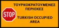 "Stop — Turkish occupied area". Sign of the Republic of Cyprus, where it is placed on the green cease-fire line.
.JPG.webp) Turkish language car ban sign. The Turkish text means "Vehicles may not enter"
Turkish language car ban sign. The Turkish text means "Vehicles may not enter".JPG.webp) Turkish direction sign for Leonarisso (Ziyamet)
Turkish direction sign for Leonarisso (Ziyamet)
References
- ↑ "Κώδικας Οδικής Κυκλοφορίας" (PDF). mcw.gov.cy (in Cypriot Greek). Cyprus. 2013.
- ↑ "United Nations Treaty Collection". treaties.un.org. Retrieved 2023-11-28.
- ↑ "Sovereign Base Areas - Administration". web.archive.org. 2012-02-04. Retrieved 2023-12-22.
Road signs in Asia | |
|---|---|
| Sovereign states |
|
| States with limited recognition |
|
| Dependencies and other territories |
|
| |